This beautiful stage begins over grass and marshland towards Lac Vert, from which the route climbs to the highest point: Portes de l'Hiver at 2096 meters altitude. From here the route descends and then climbs to the lower Col de Coux at 1920 meters and then descends to Alpage de Chardonnière at 1430 meters. The route again has stunning views and generally follows easy-to-walk trails. The route ends just before Col de la Golèse.
Last night, fortunately, the weather calmed down quickly. We left all the wet gear in the awning and last night's dry wind blew the gear partly dry again. At 5:30 the alarm clock rings and since we are in the middle of the trail, we quickly pack all the gear and break down the tent. Then it's time for coffee and breakfast.
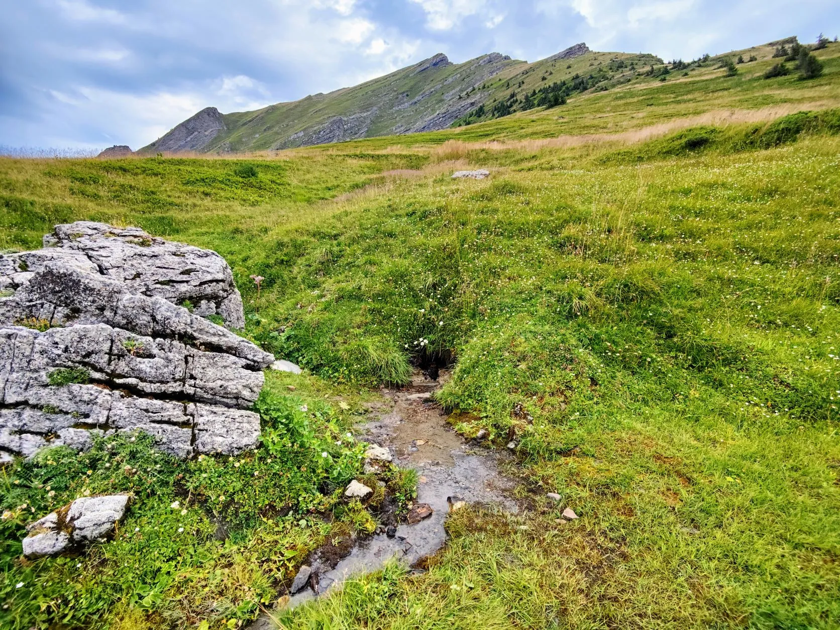
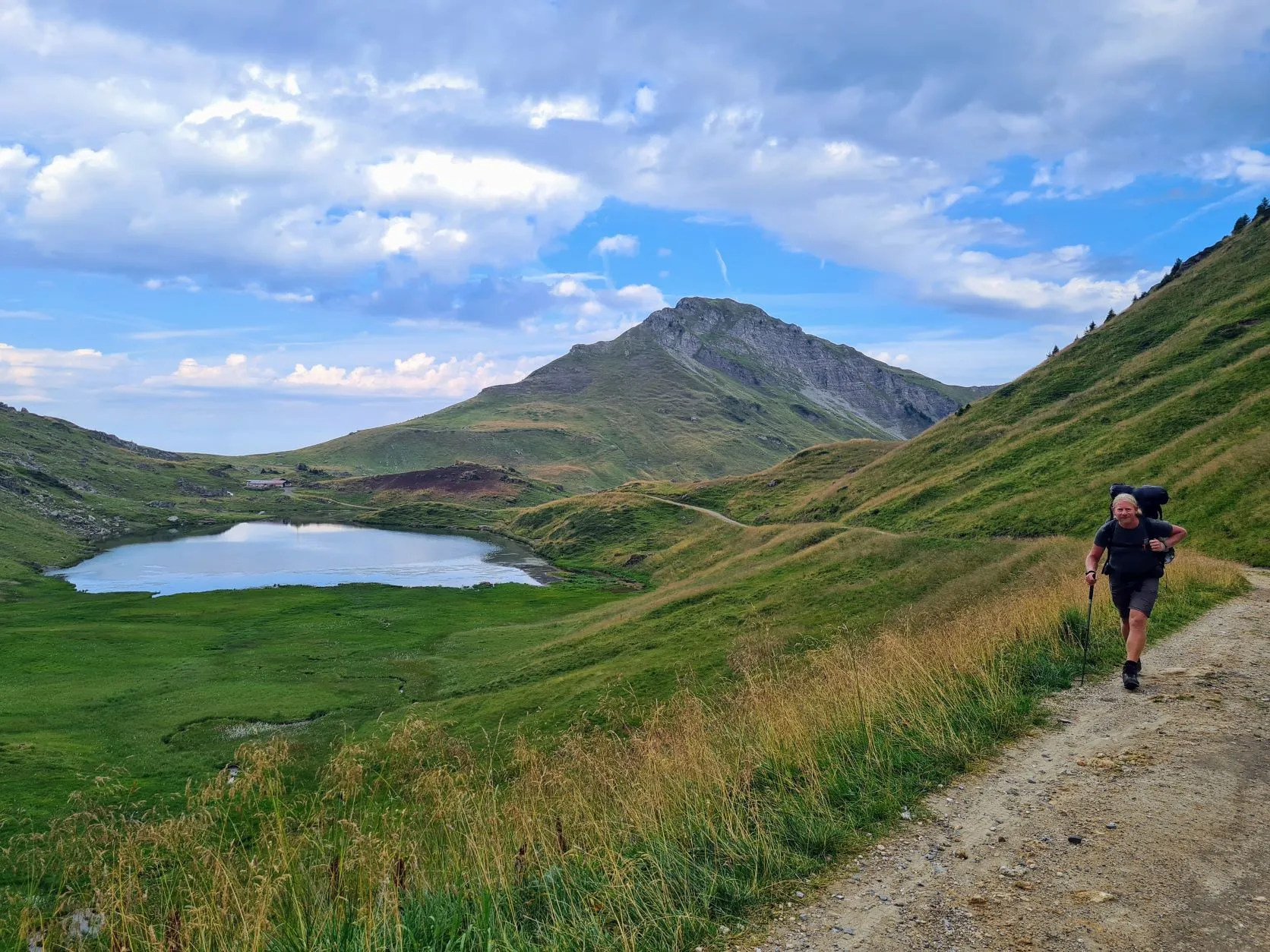
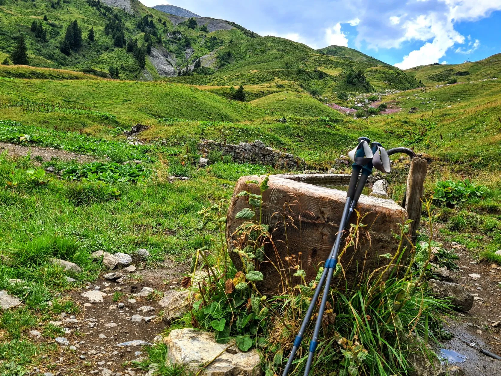
It's still cloudy this morning and the temperature is a bit lower than we're used to, but it's nice for walking. In the beginning the trail goes up a bit through swampy, peaty grassland and soon we find a spring at the foot of a mountain to tap some water. It's crystal clear, ice-cold water that comes pouring out of the mountain through a small hollow. Signs that it's fairly safe, pure water.
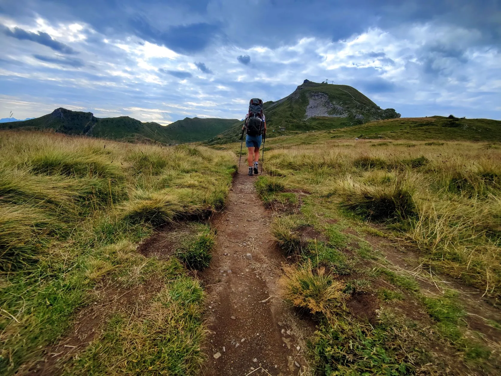
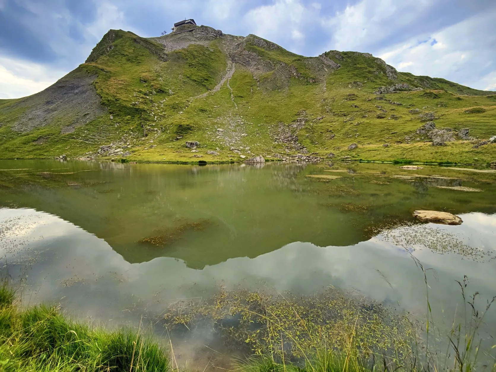
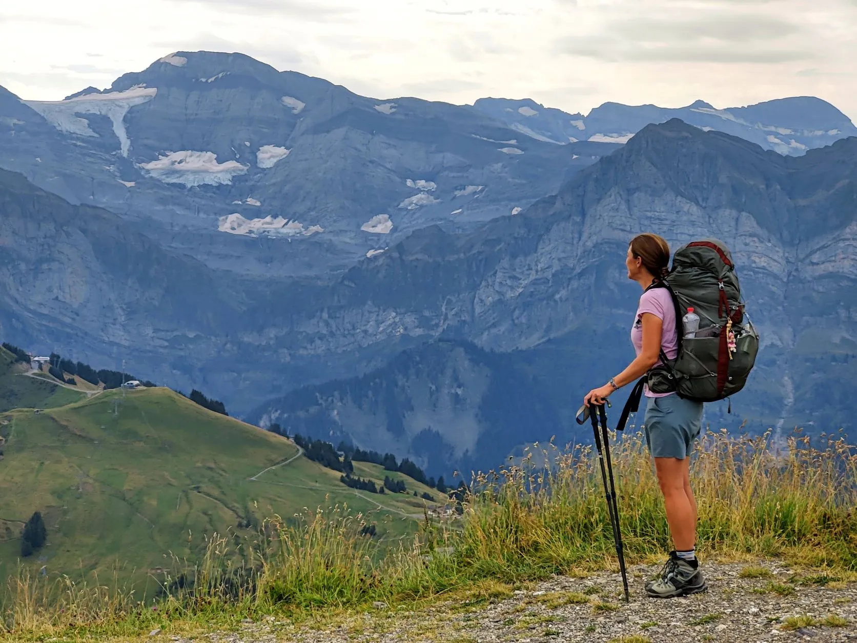
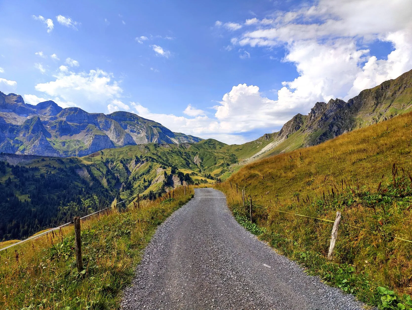
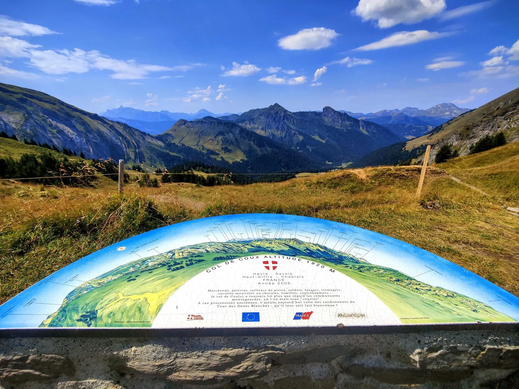
We cross the plain between two high mountains, which is also the border with Switzerland, so we'll soon be back on Swiss territory. We pass Regufe de Chésery, which is near Lac Vert. A beautiful lake that, as the name suggests, has a green shine. We climb up a wide path along the lake to today's highest point, the highest point of the GR5 so far and the first above 2,000 meters, Portes de l'Hiver at 2,096 meters. Every time we pass a col, we look into a new valley, into a piece of the Alps we don't yet know. And again, how beautiful... The mountains get higher and higher, on the bare peaks opposite to us there is still snow from last winter. In the distance we can see a glacier and in front of us a green valley with grassland and cattle. We keep following the wide trail and after about 7.5 kilometers we take a break on a bench. The first bench we encounter in the Alps and it's unoccupied as well! The Vosges and Jura are littered with benches, but here they haven't been so generous. The rest of the stage the trails remain wide and easy to walk on. We follow the valley to the end to Col de Coux at 1,920 meters, where we enter France again. It's noticeable that there's a parking lot not far from here, it is one of todays the busiest sections.
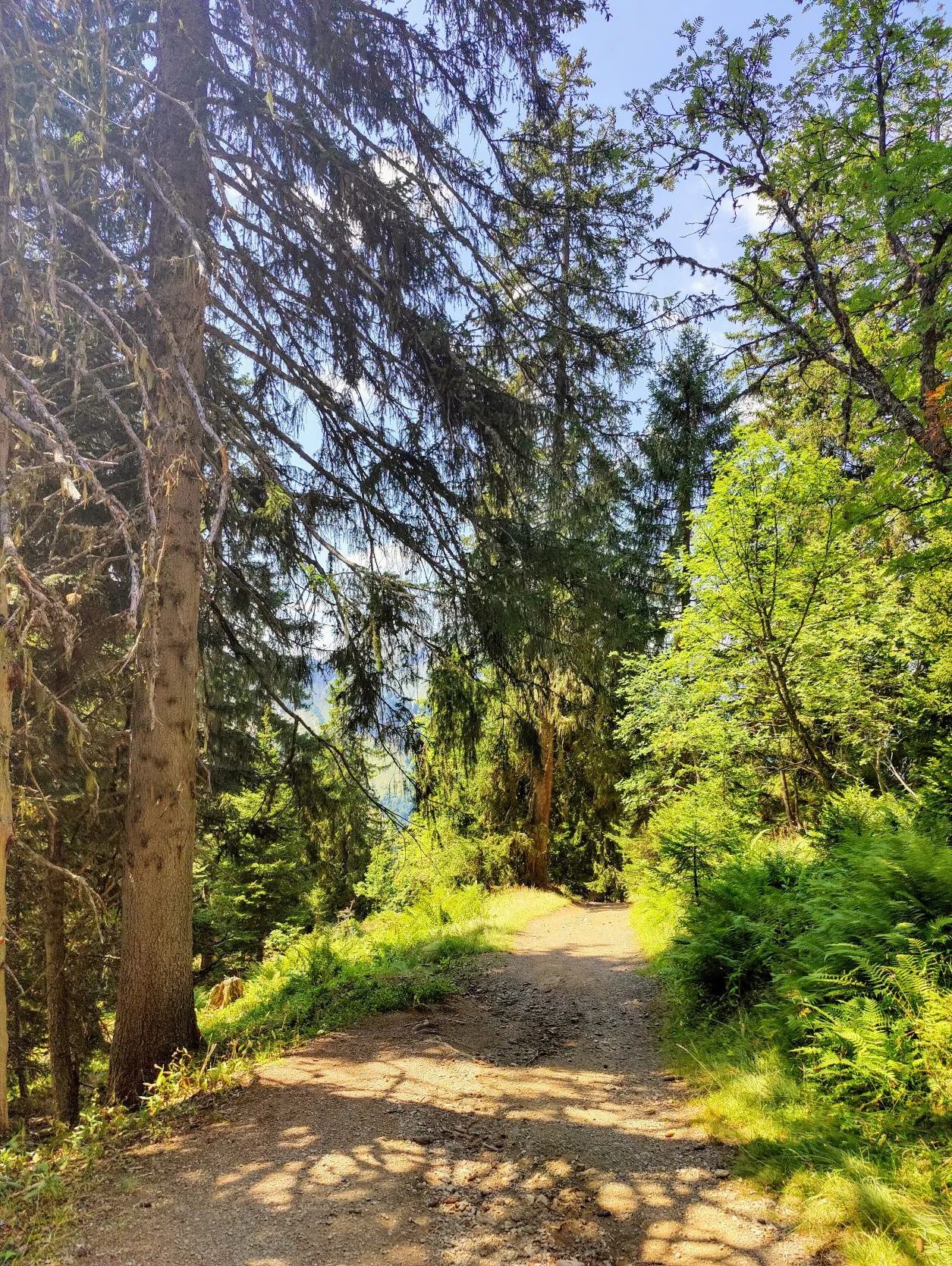
After the col we descend towards forests to around 1,400 meters, where we find another water tapping point at a small river. This water comes from a source higher up and is led by a hose to the bottom of the mountain. The descents always turn out to be more tiring than the ascents, and we take a good break. We have walked 15 kilometers and are now about halfway between where we left off and the campground where we'll arrive tomorrow. So any kilometer we walk extra today, is a nice bonus for tomorrow.
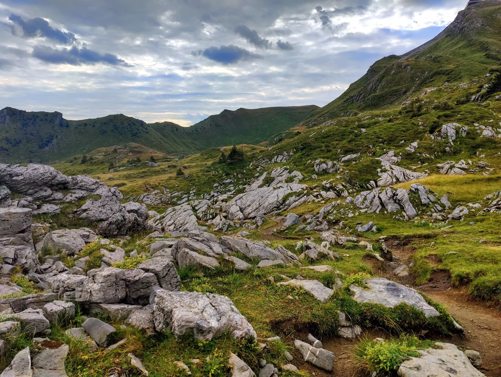
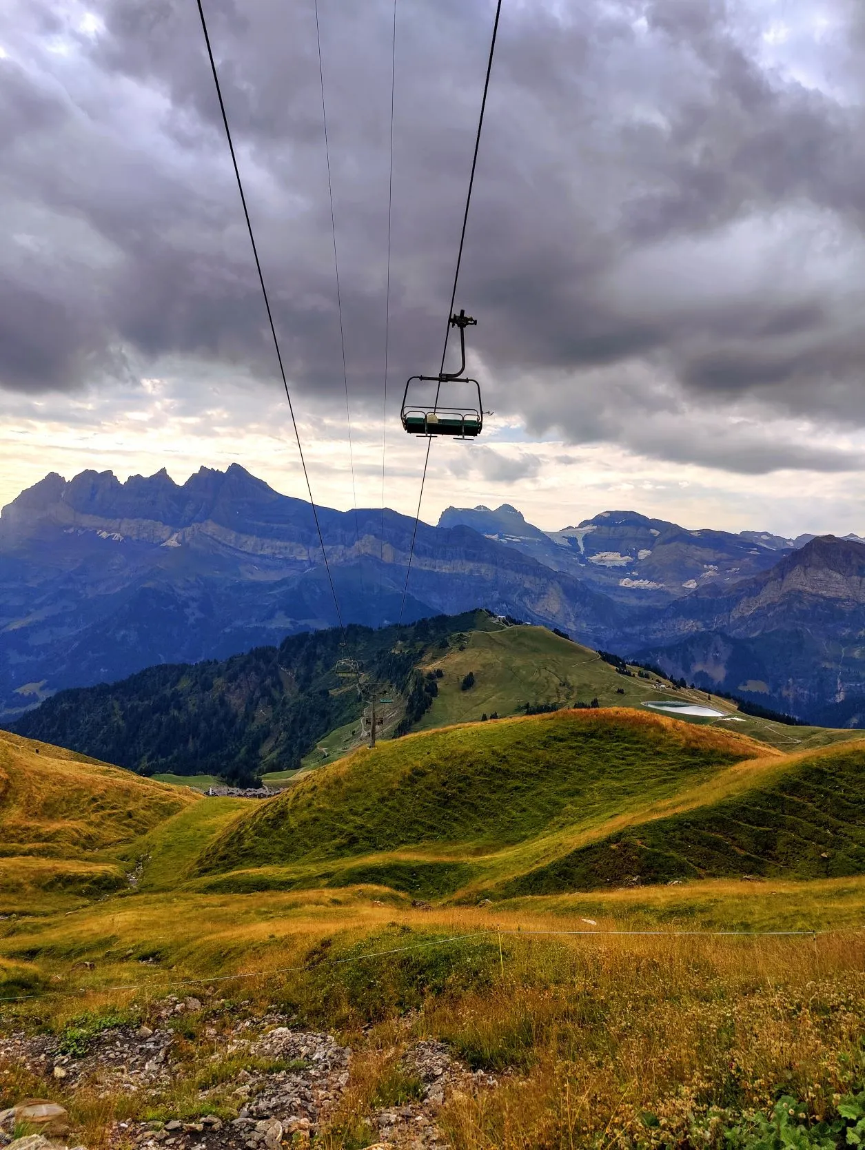
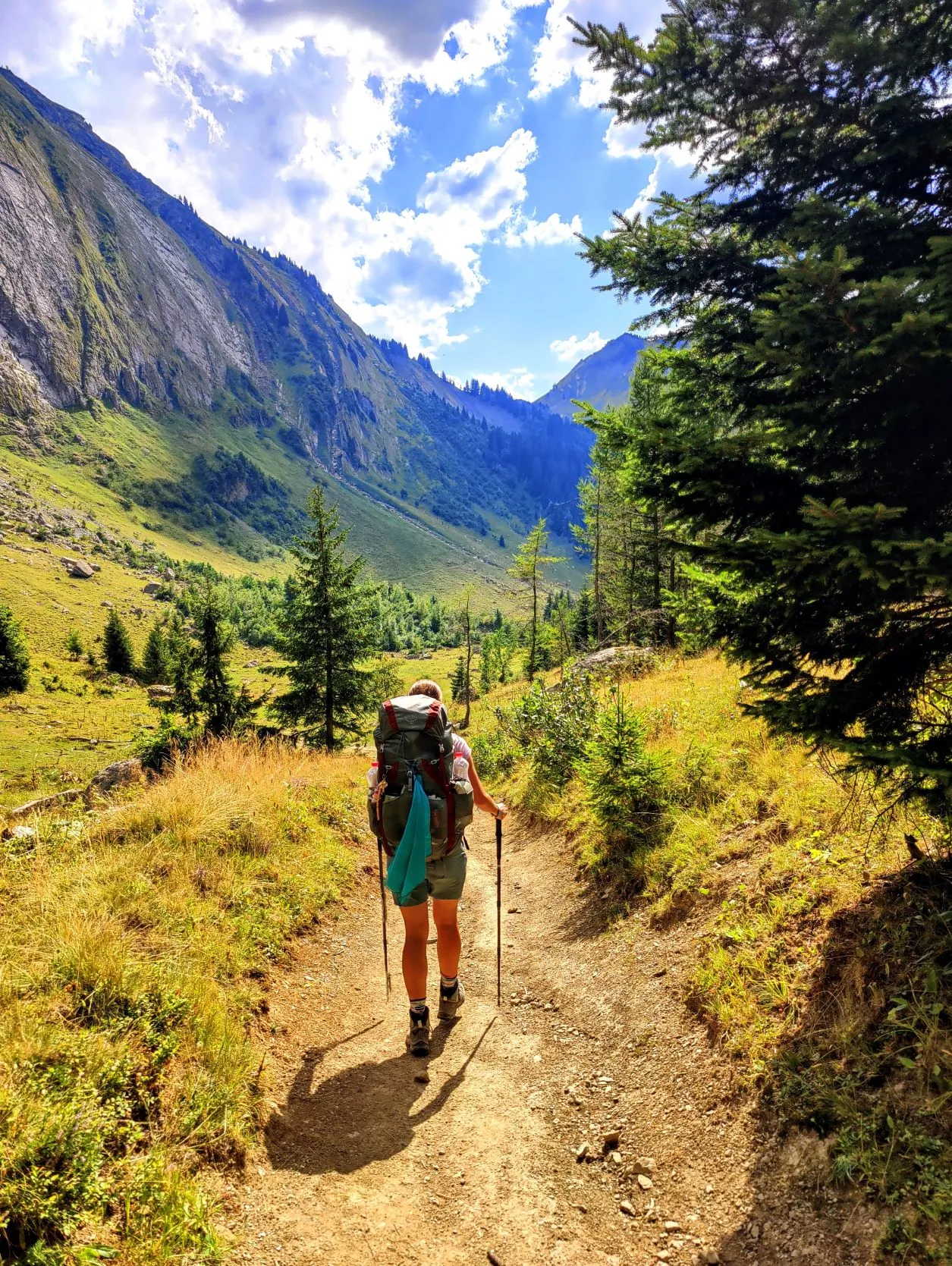
Looking at the sky above us, it won't have much time left to walk, because dark clouds are starting to form above us again. We walk across a beautiful meadow past high rock faces into the woods as it begins to drip a bit. Yesterday it also took 1.5 hours for it to break loose, so we don't pay too much attention to it, but we do keep our eyes open for a place to pitch the tent. When we reach the edge of the forest, just before we enter an open stretch of land, it erupts. We put on our ponchos quickly and just before we cross a wildlife grid into a meadow with cows, we see a sheltered place a little higher than the trail where we can pitch our tent. In no time the tent is standing and before we know it we are sitting nice and dry in our awning again. Super early for us, because it is not yet 6 p.m. and we normally don't pitch our tent in the light when camping in the wild. But at this spot we are in nobody's way and nobody can see us from the path. The only downside, is that we only brought a minimal amount of water from the well in our last break. We expected to find a spring a little further on. But we have just enough water to cook and get through the evening. Only a bowl of soup would be nice after this day of hiking....
The rain pouring down offers a solution: this also turns out to be a good source for water. We collect the rainwater in pans and purify it in our new water purification system. This works well and soon we have a pan of minestrone soup on the stove. Lol, we are slowly starting to become real Boy Scouts!
During the thunderstorm and clatter on the tent, we quietly cook our pasta meal. We look forward to getting to bed nice and early, it was another exhilarating day.
2 reacties