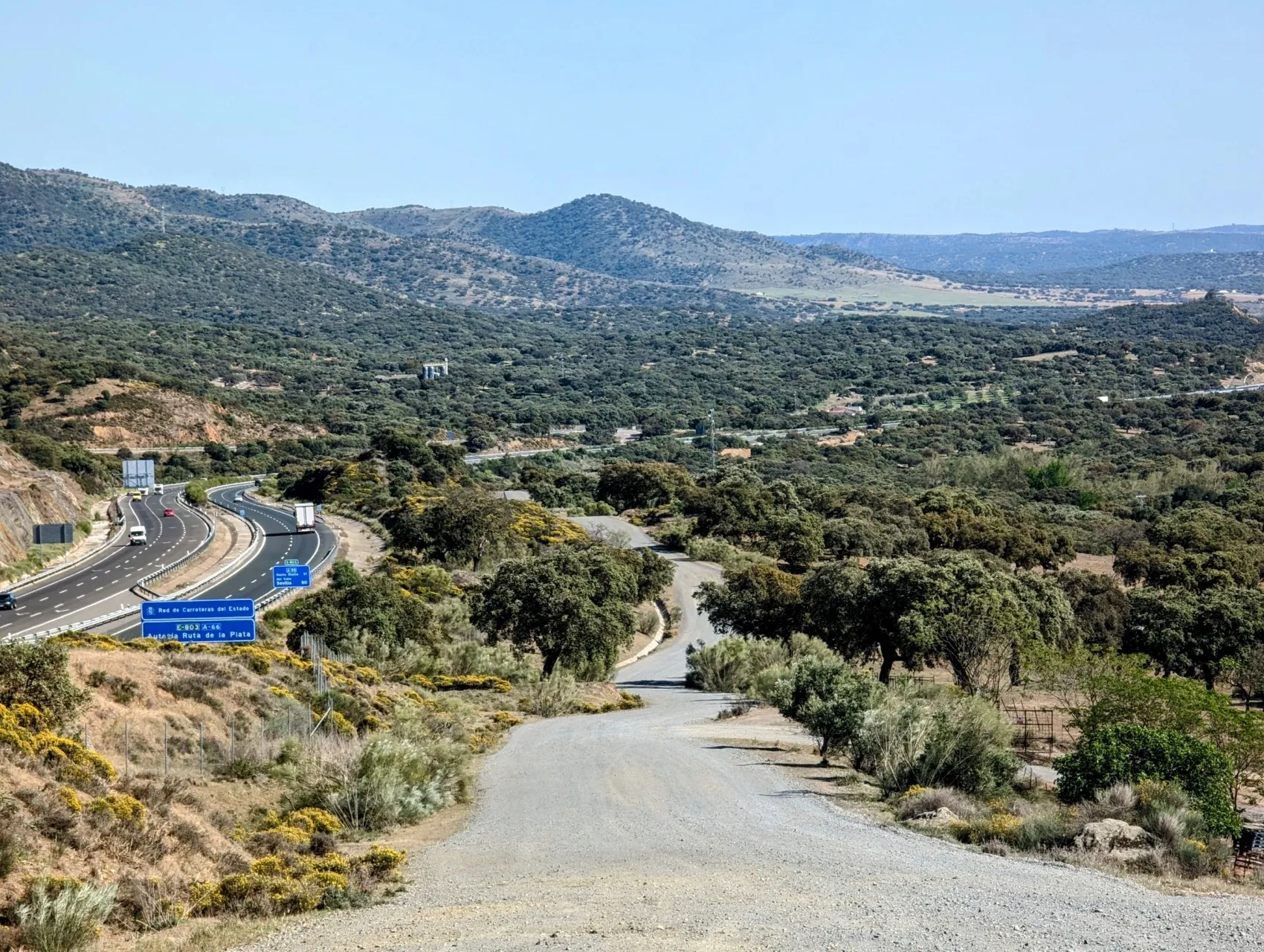
Today we follow the pilgrimage route Via de la Plata from Almadén de la Plata to Monesterio. 'Plata' means 'silver' in Spanish, hence the nickname 'the silver route'. But in both the name of the route and the place name, Plata comes from Arabic times and means 'paved path'. 'Almadén' means 'mine' in ancient Arabic, so the place name actually means 'paved path to the mines'. There used to be big marble mines here. The Via de la Plata was part of a network of paved paths across Spain more than a thousand years ago, and the route is still largely the same. The paved paths, or dirt roads as we more often call them, have given way to large stretches of asphalt roads, that also like to use this most logical route through valleys and over hills. The motorway heading north also shares the same route more often. Fortunately, here in Spain's inland, there is plenty of room to avoid getting in each other's "way" too much.
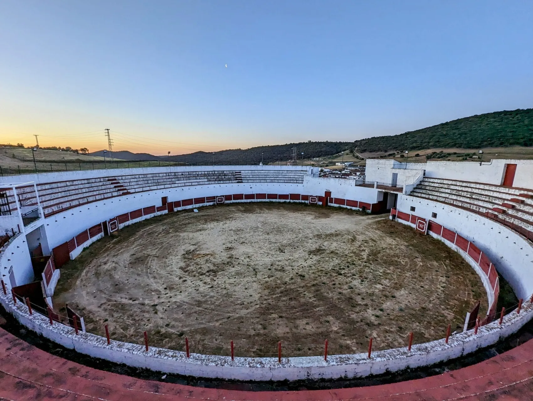
The first stretch we walk through the village with the by now familiar morning life in the streets. Sometimes the villages seem busier at 7.30 am than at 4 pm. As we leave the village, we pass an arena and have a nice view: the sun is starting to rise, giving the mountains and white houses an orange glow.
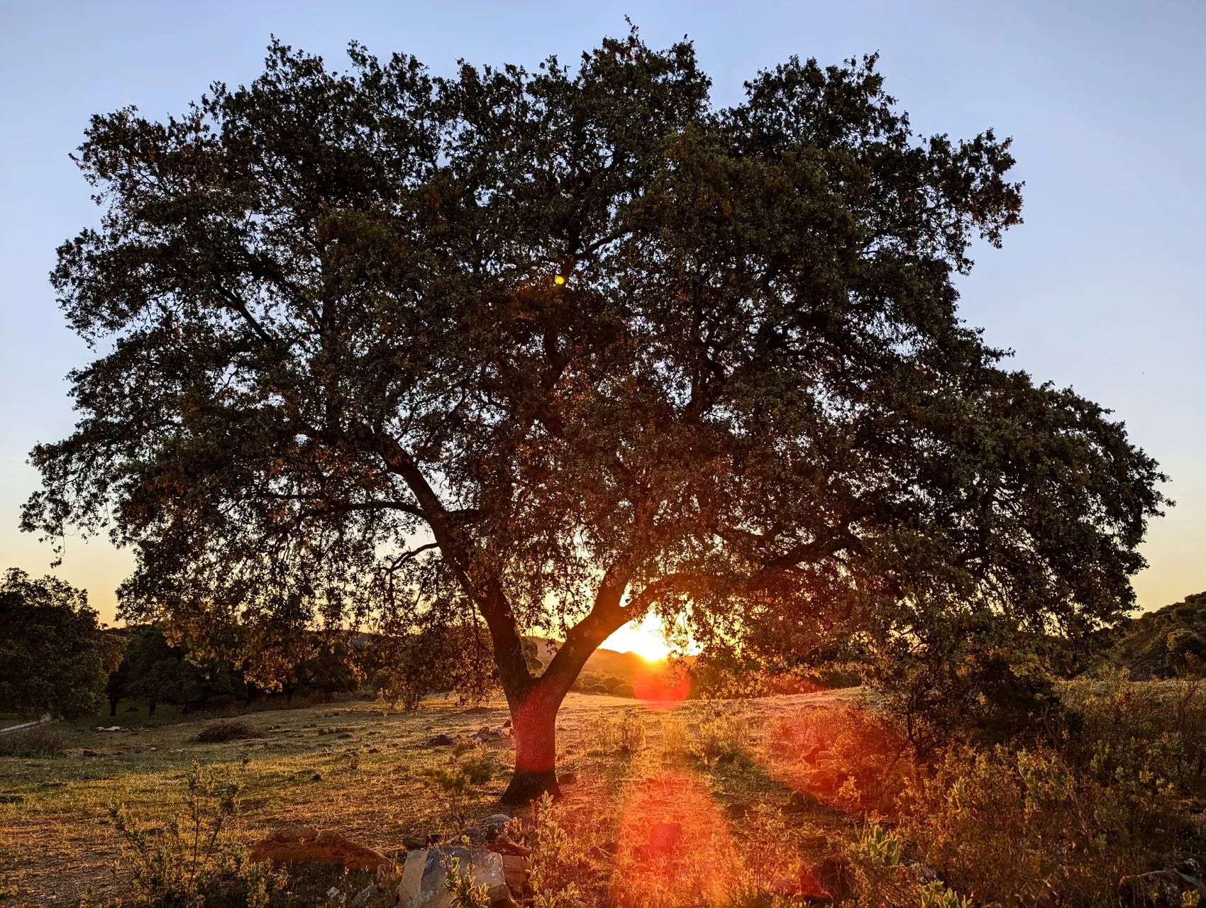
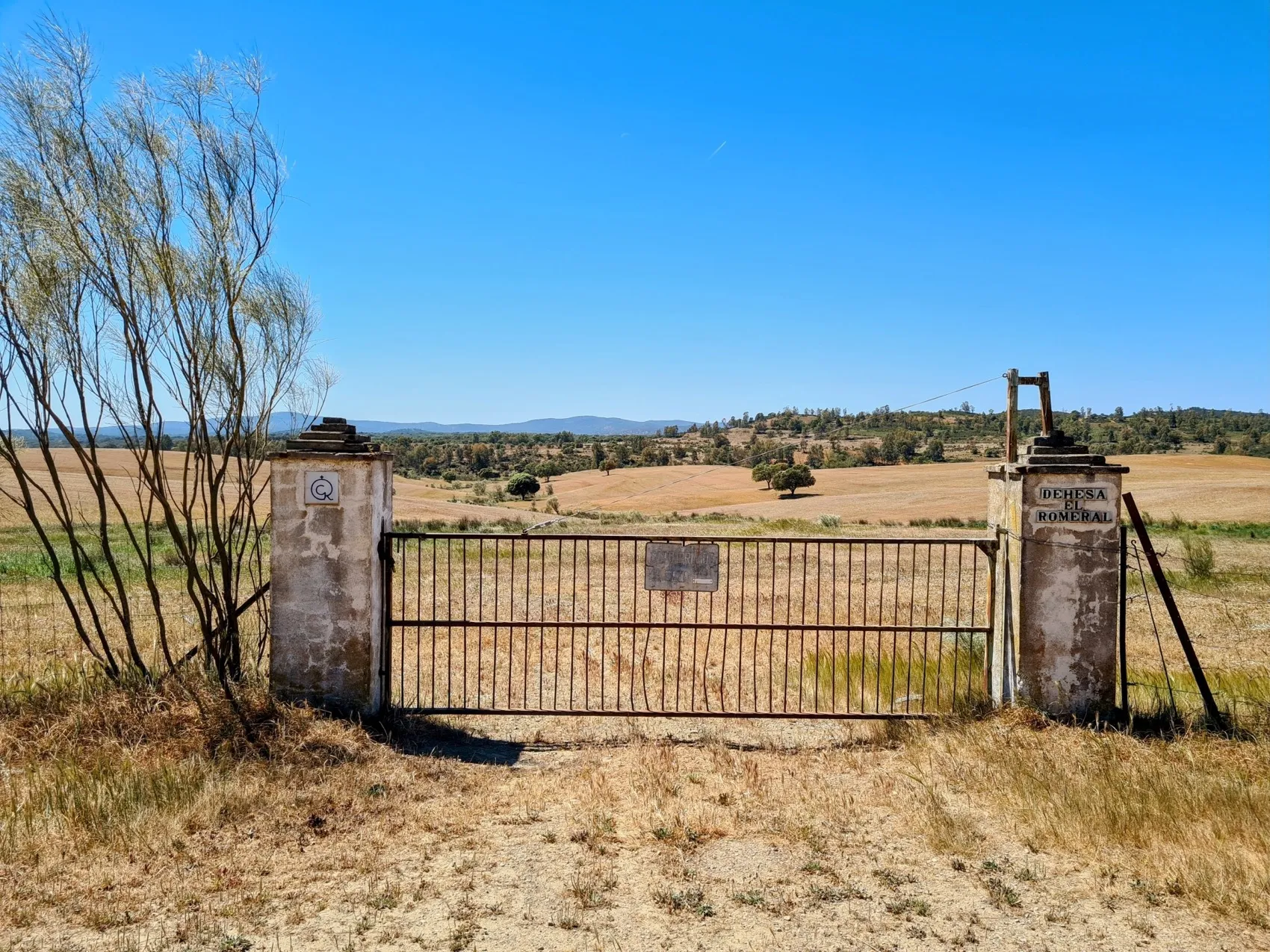
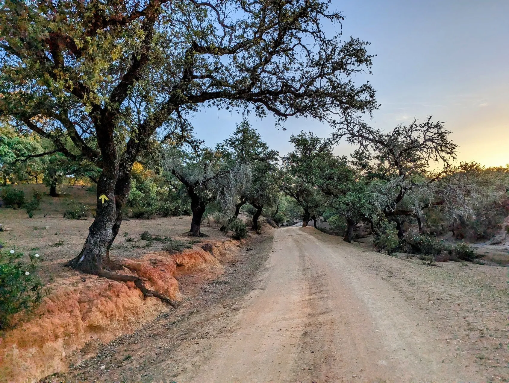
We walk along the paved path, or Plata ;-), along the hills. The old oak trees are magnificent in the morning light. Fortunately, the route mostly passes by farms, but after about 2.5 kilometers we walk into a yard. Two large guard dogs, Anatolian mountain dog type together with a slightly smaller model, lie in the sun. When they hear us, they don't appear to be leached as they normally are here in Spain, and come to take a look. Having encountered dogs like this a bit too often in the Alps last year, we are immediately wary. Fortunately, they mean no harm and the biggest of the three even keeps the other two at bay. Very peculiar. But when the others want to come closer, number three shows his opposition by fighting. Then becomes clear that you don't want to get into a fight with these kind of dogs... While they are at each other's throats, we quickly move on.
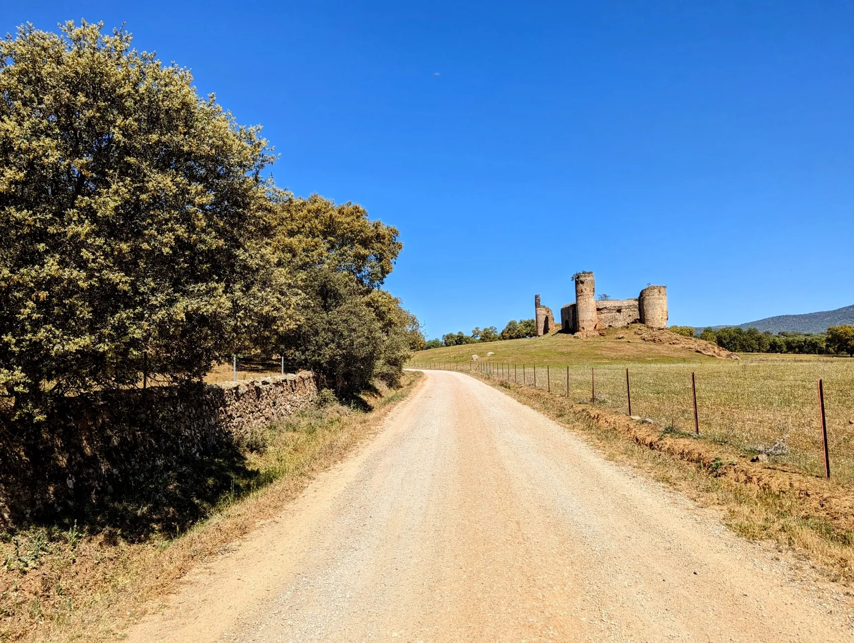
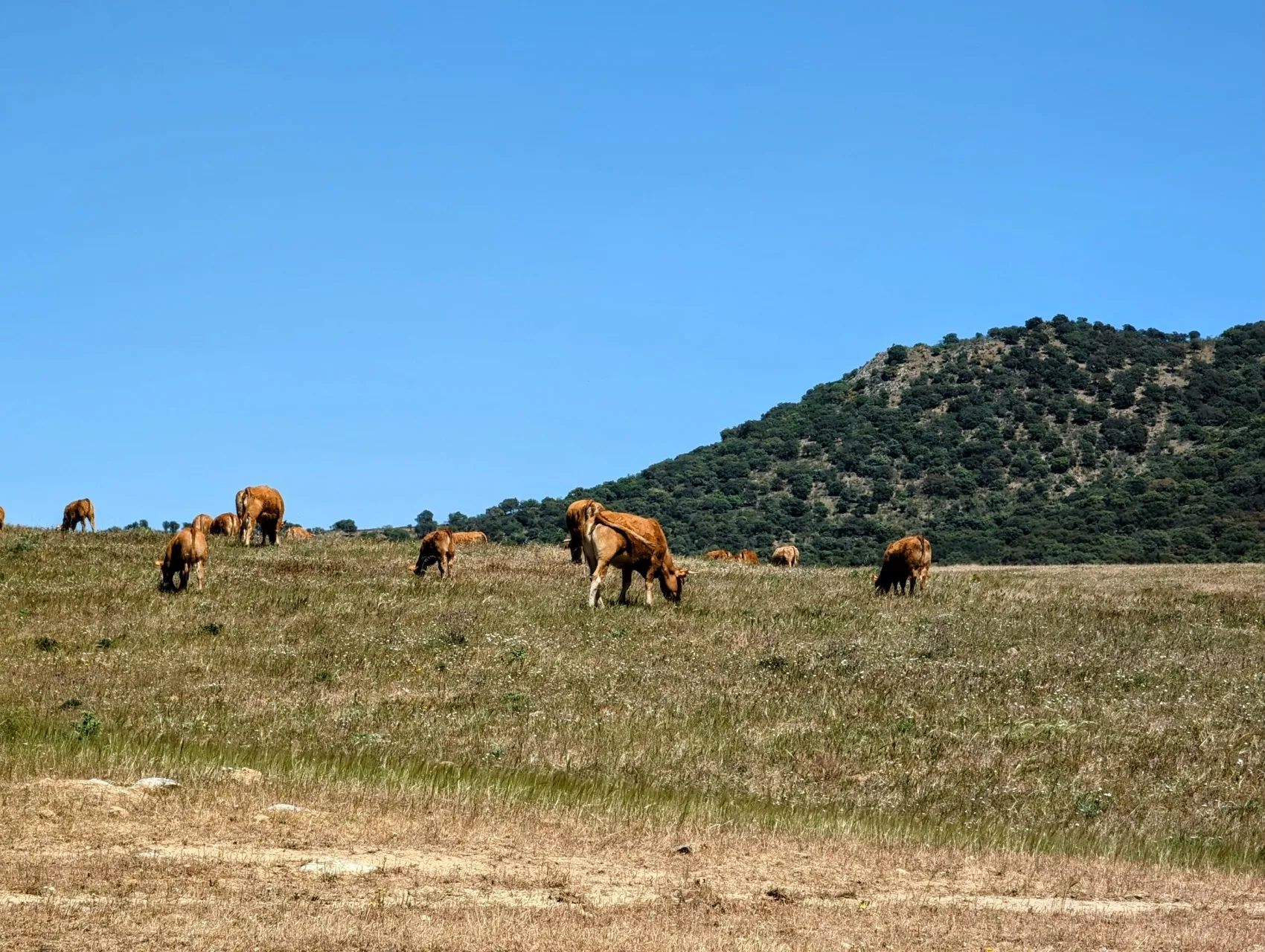
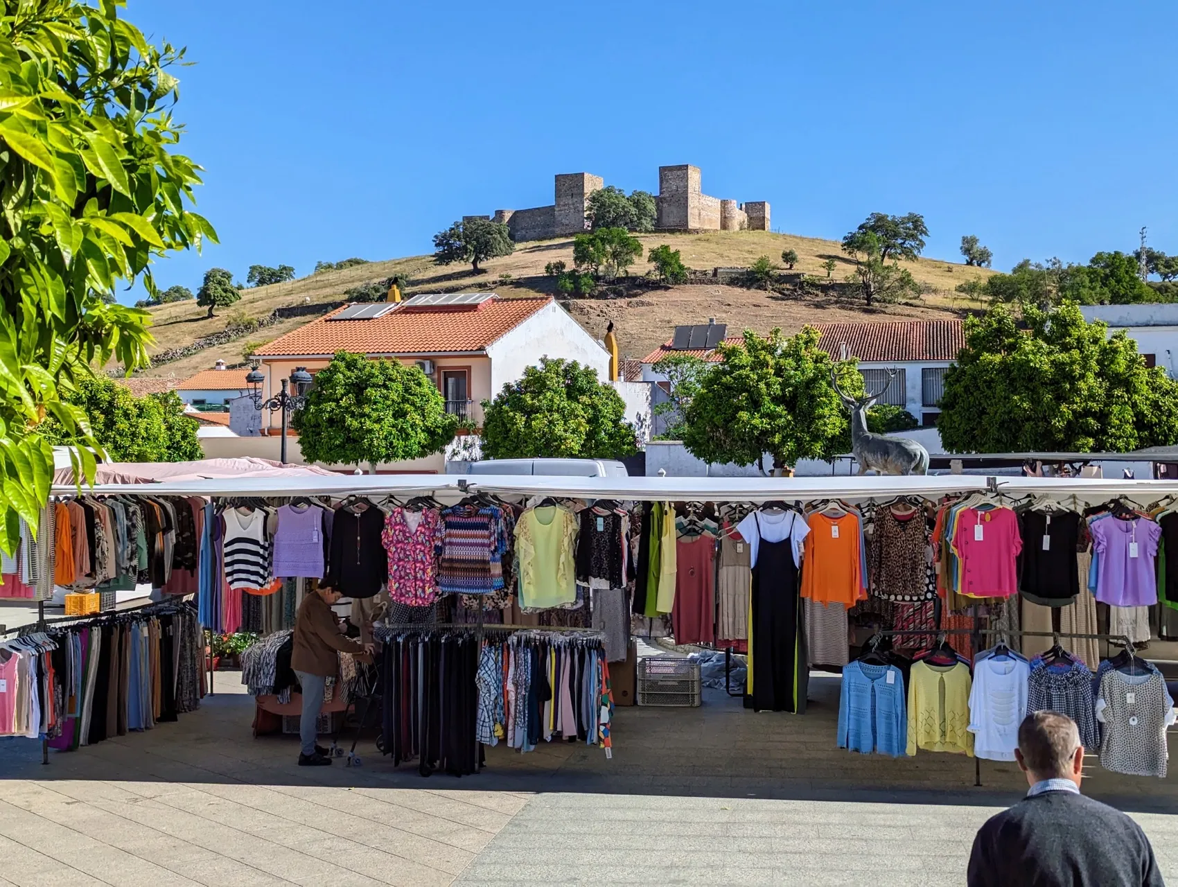
A little further on, our prepared route follows an asphalt road, but the marble markings here point in the opposite direction, into a hardened path. Since the route has so far always been easy to find with the shell, yellow arrows and map, the choice is quickly made and we choose to keep walking on the path. This also turns out to be a kilometer and a half shorter, which is not bad at all with a stage of over 36 kilometers, although it does mean some more altimeters. Patches of lower bushes and hills full of sunflowers alternate with oak forests. The path is undulating until we reach a steep slope via a narrower path. We ascend in the sun, and descend in the shade of the forests. On the other side follows a beautiful stretch between green meadows and ancient oaks. The holm oaks will have been planted, but the trees are so old that it looks very natural. We are now at the edge of El Real de la Jara, the only village we cross today. The place name could not have been better chosen after walking for kilometers among the flowers, but mostly rock roses. 'Real' indicates 'royal' and 'jara' means 'rock rose' in Spanish. But even this place name originally comes from Arabic, as the place was once called Xara, which also means 'flower'. A brilliant name for this village. It's a small place but there is a market, so the streets are busy. We buy some extra water for the road. Temperatures are not too bad at the moment, but it will be quite hot today, so we want to have plenty of drinks with us. Above the village is a large, beautifully preserved castle. We walk back into the fields below, over a hill, and down by a stream where swallows scooping gnats from the water, bee-eaters chattering in the air and a second castle stands in the land, we reach the sun-drenched border of Andalusia and Extremadura. We take a good break at this lovely spot and then really leave behind Andalusia, which we have walked through since entering Spain from Portugal. Extremadura is off to a good start. We walk in a vast hilly landscape and the fences that demarcate the farmlands have given way here to beautiful, old stone walls. The large patches of land are home to brown cattle, sheep and the occasional goat. Towards the lowest point of the valley are tall eucalyptus trees and on the other side we can see the bare tops of the hills. We immediately see more birds of prey around here. Vultures, eagles and also the red kite. The kilometers go quickly along this wide sunny road and before we know it we have advanced another 10 kilometers.
The last 9 we be will walking parallel to a motorway. We now have hiked over 25 kilometers, and before we reach the main road, we take a break in the wonderfully quiet country. It's supposed to be twentyfive-plus degrees today, but sitting in the shade of the trees it's still a bit chilly. We even put on a cardigan. The difference between shade and full sun on these sandy paths is huge.
Once we reach the road, we walk on a small path between the highway and a dual carriageway. At least that's a lot better than walking on asphalt. Occasionally some traffic passes by, but it isn't busy and the scenery is beautiful, so we have nothing to complain about. About halfway, the dual carriageway turns under the motorway and we cross over to a dirt road that leads to the village with some decent climbs. On these slopes it's really scorching hot though and we stop more often to have a drink. We are happy with the extra water we bought after all, and at the top we soon enter Monesterio. The stage eventually turns out to be almost 35 kilometers. The last climb wasn't really necessary, but we arrive fit beyond expectations at the apartment we booked for two nights. After 4 stages and 107 kilometers of hiking, we will give our feet a day's rest tomorrow. But we will, of course, check out the village as well.