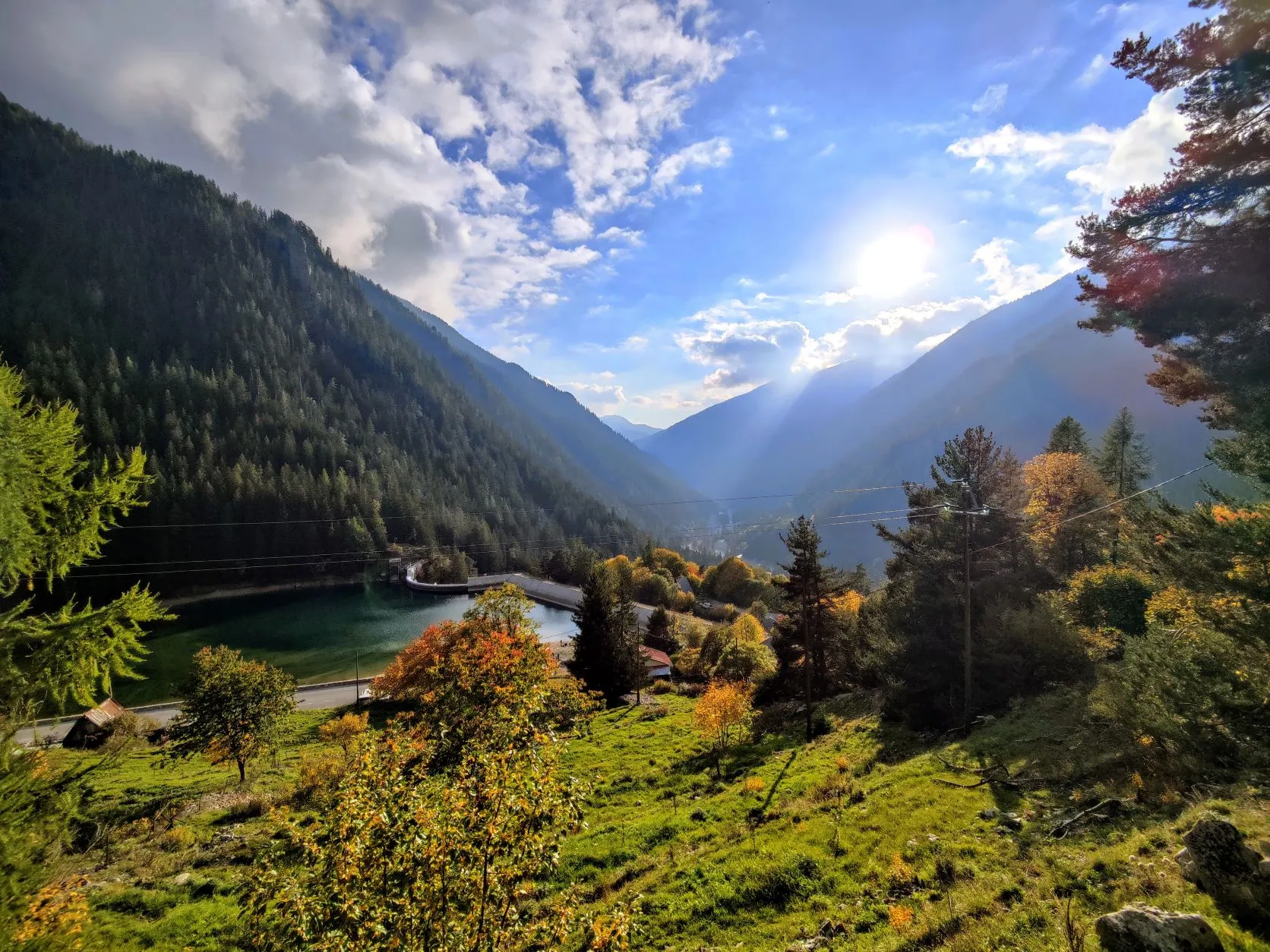
Today we follow the GR52. This stage ascends from Saint-Dalmas in almost 10 kilometers to Col du Barn at 2,452 meters. Here the trail goes through forests and later on grassland and passes the beautiful lake Lac Long. The route then descends through a beautiful valley to the Vallon de Mollières River. This is followed upstream to Le Boréon with its eponymous reservoir and river through larch forests and across meadows.
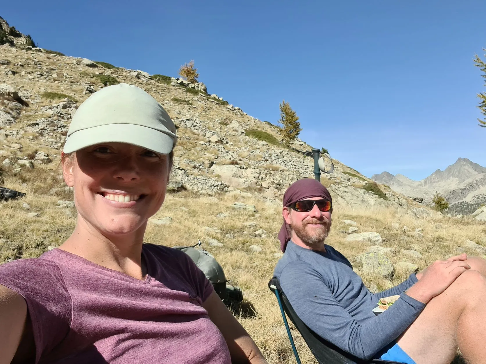
Yes, it's time to get back on the trail again today! It'll be the last time into the mountains for a long, multi-day hike. Good weather is reported for the next 4 days and we'll need it to get to Sospel safely. We're curious to see what the GR52, the variant of the GR5, has in store for us...
The weather is lovely this morning, but it's still cold when we walk to the village. At the old church of Saint-Dalmas we put the backpacks down for a moment to visit the bakery and then walk on to the GR52 sign that leads us right up the mountain. We wave at the GR5 sign, pointing in the opposite direction, and it feels a bit strange. But fortunately the markings we're going to follow next are also white/red, so that's easy ;-)
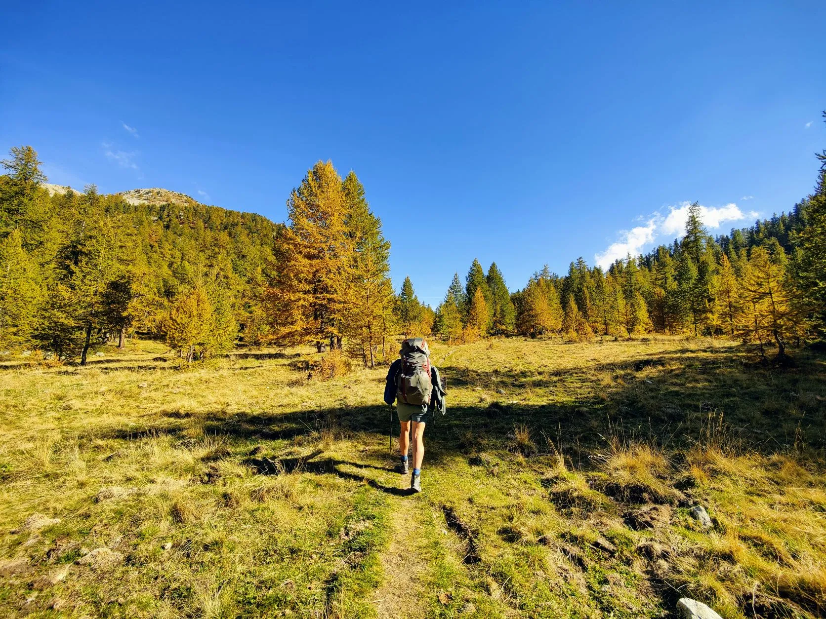
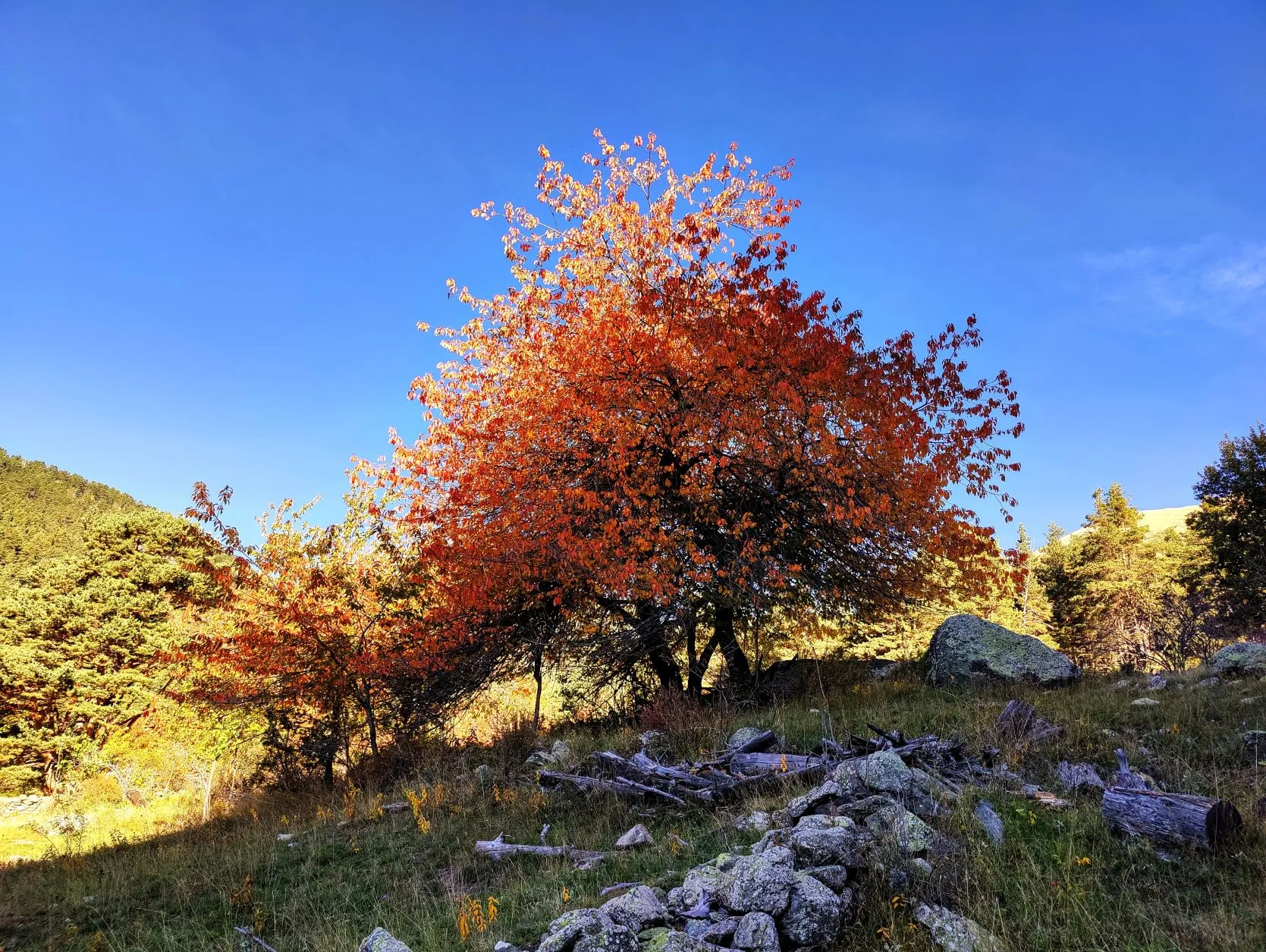
The trail follows a wide riverbed uphill, then we turn left into the woods and meadows. The deciduous trees here already have brilliant autumn colors, among the green conifers the red and yellow of the leaves stand out nicely. Dense forests are interspersed with open areas and large grasslands that turn yellow from the dry grass. It looks like mountains of gold...
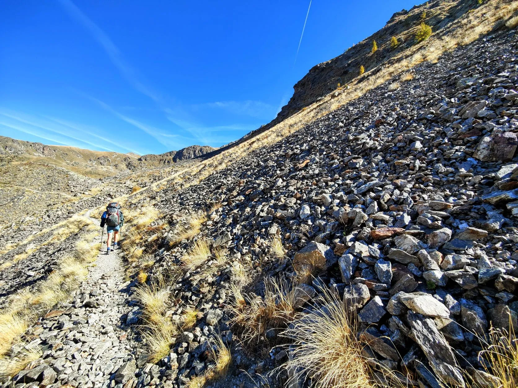
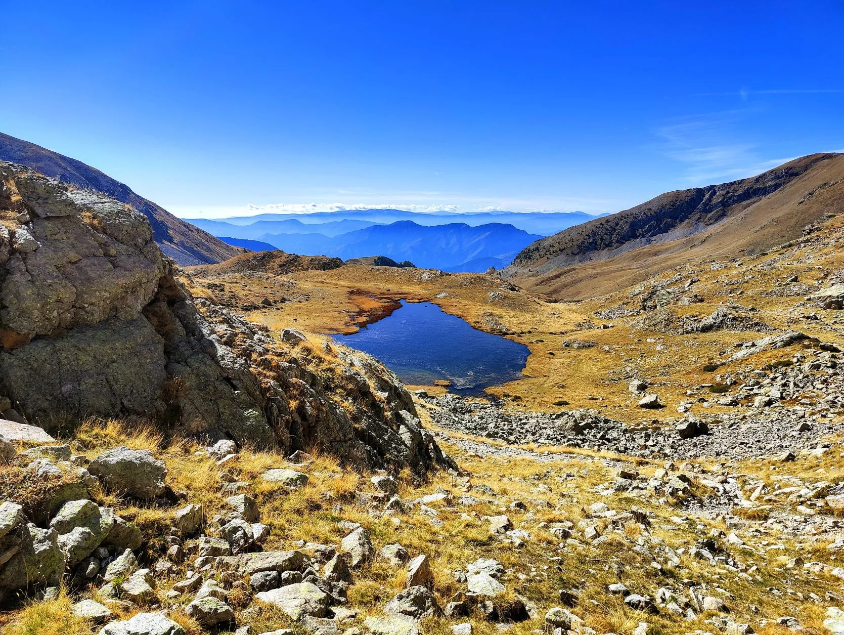
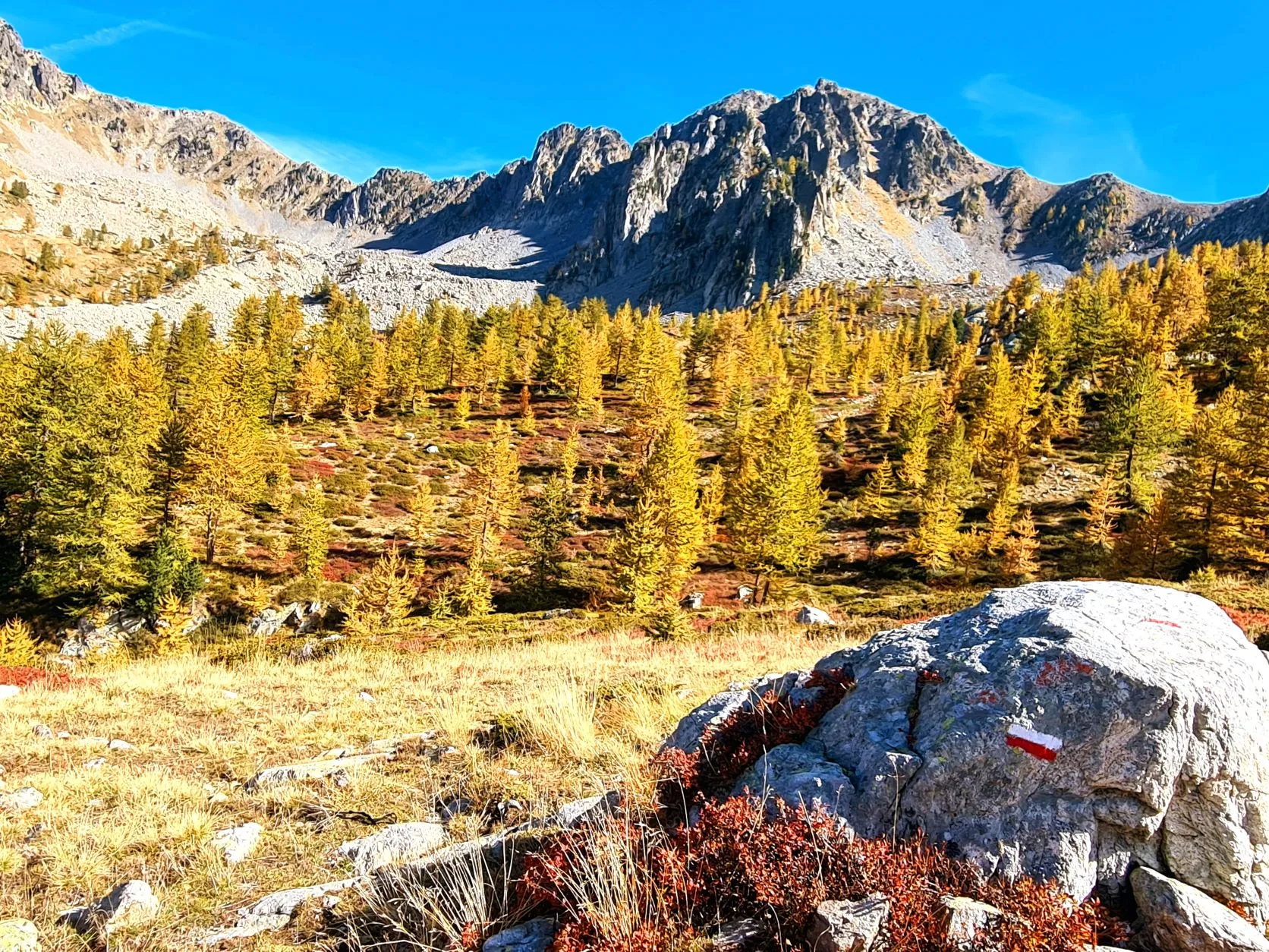
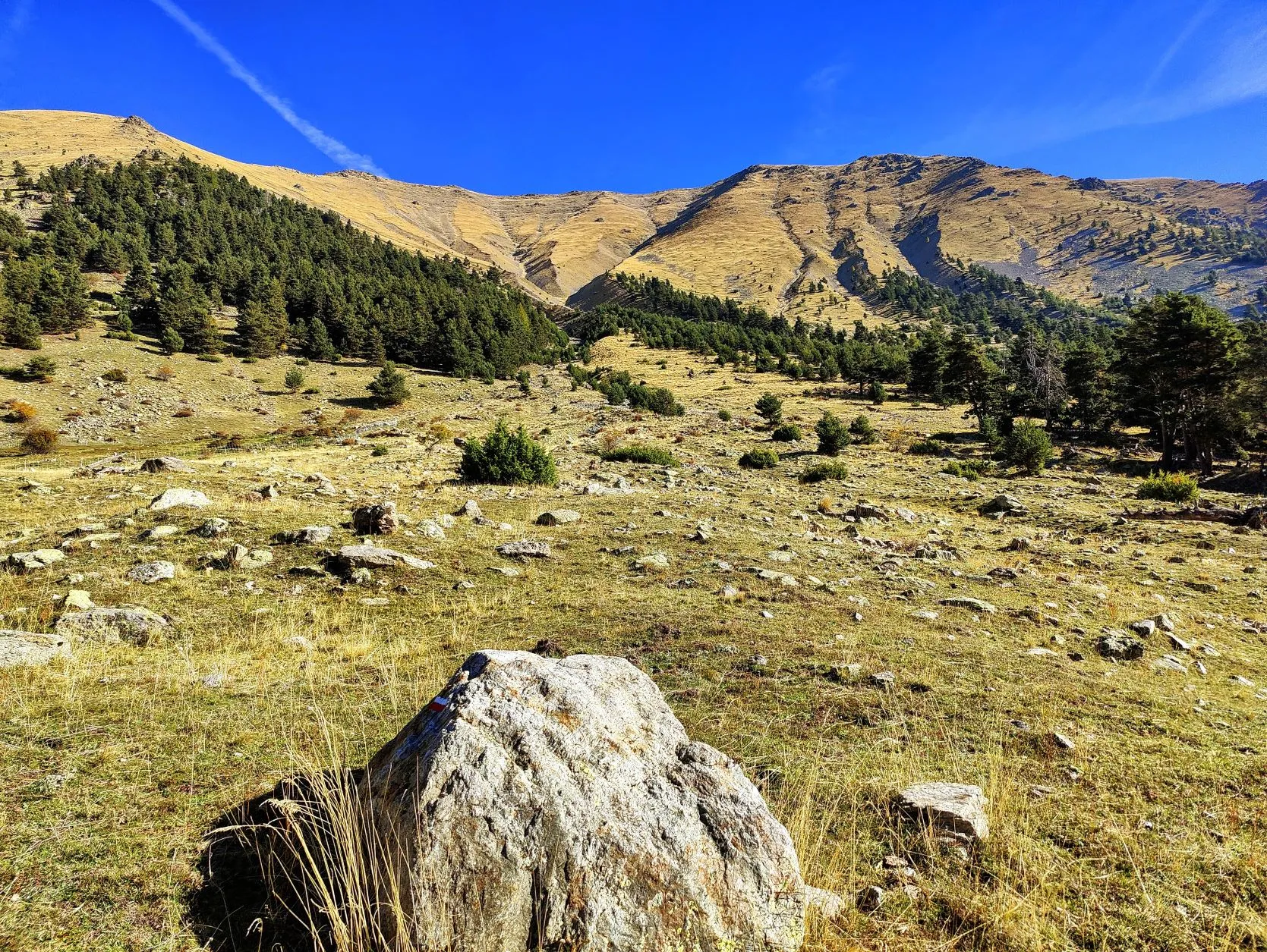
Today's climb is a descent one: we walk from about 1,350 meters in 8.5 kilometers to Col du Barn at 2,452 meters altitude. Again, on the col we have stunning views. Behind us we see the valley with the beautiful Lac Long we just passed and in front of us a wide valley with many larches. Even these, this late in the season, are starting to turn yellow and stand between the fields of grass and rocks next to the red blueberry bushes. What a palette of colors!
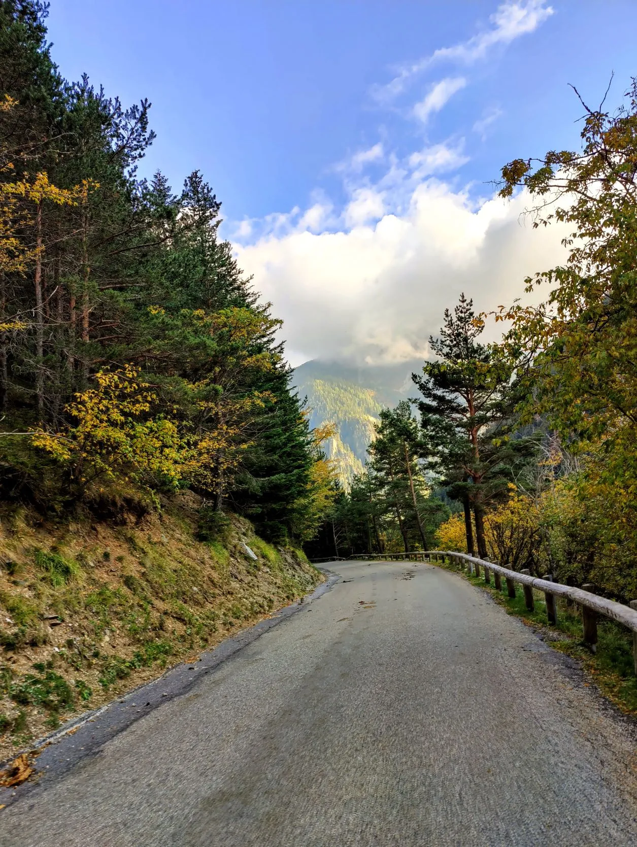
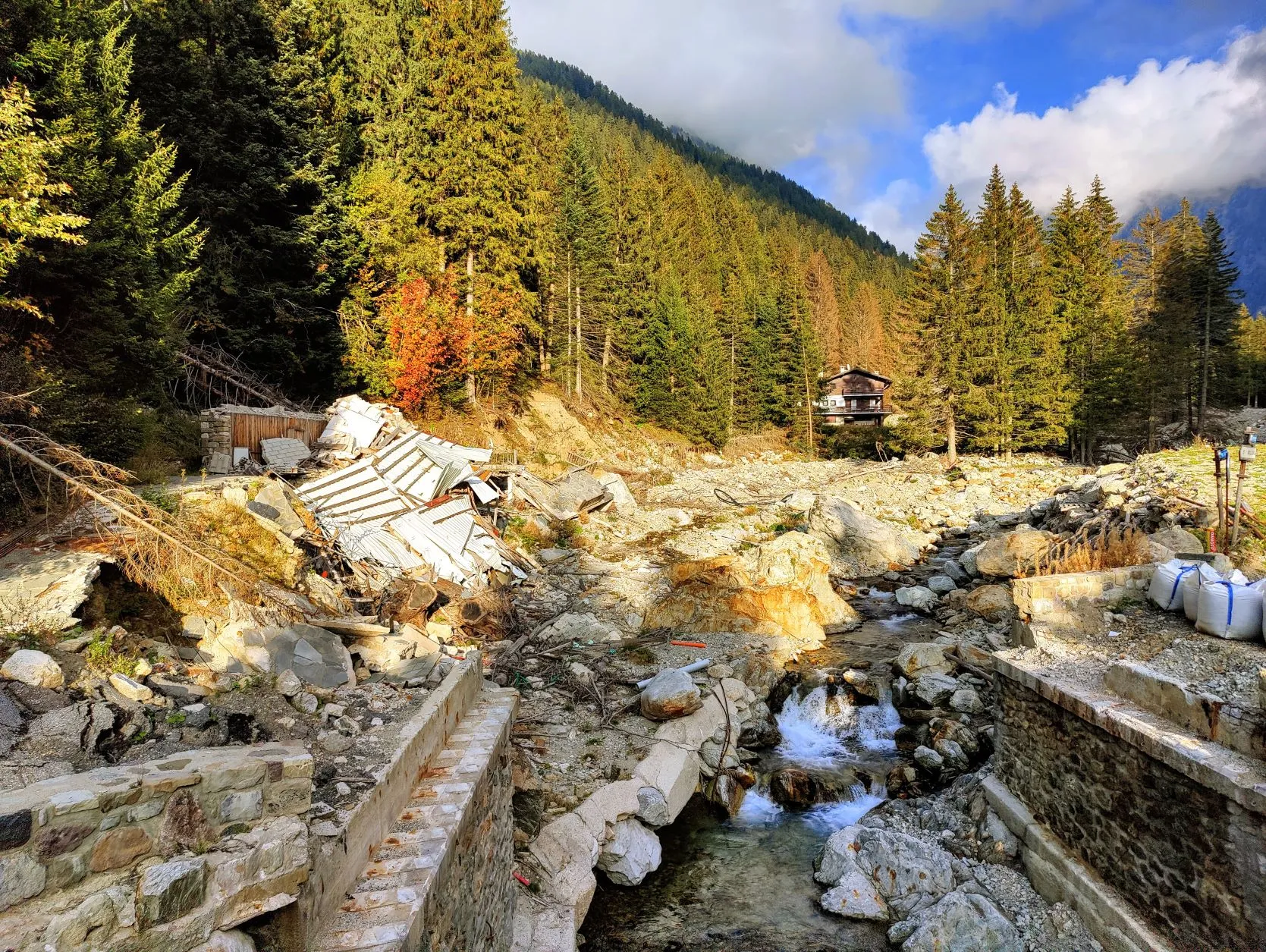
From here the trail is mostly downhill. We walk down toward the Vallon de Mollières River and continue to follow it, crossing a beautiful valley. After 1.5 kilometers we leave the river to cross a small col, Col de Salèse, towards another river in the Vallon de Salèse, which we'll continue to follow until Boréon. This valley was hit hard by storm Alex in October 2020, and traces of this are still evident in large parts of the Mercantour. Everywhere you look in the river bed and on the GR52 trail, bare rock with uprooted trees and chunks of ground that have been swept away are visible. There are signs that the path is closed because it's too dangerous to follow and we walk on the asphalt road that leads right next to it. It's a small road with hardly any traffic, so that's fine as well. A lot lower down, from the village of Boréon, the trail was supposed to follow the left side of the bank of the river Le Boréon, but this too is impassable and closed to hikers. We must continue to follow the right bank. According good French practice, there is 1 sign 'Deviation' and after that no more markings are placed, so it takes a while to find the right route. We walk past an animal park that they are still repairing. It too was largely destroyed by the storm and many animals, including several packs of wolves, escaped at the time. We just hope they have all been found, because tonight we are going to wildcamp a little further away. There are many wolves in the area anyway, therefor all those cute white sheepdogs near the herds of sheep, but as a human you have nothing to fear. Due to centuries of wolf hunting, the animals have learned to flee as soon as they see humans.
We walk past a camper spot. Hikers have camped with tents in the past, but it's already filled with campers, standing side by side. We don't feel like pitching our little tent between them, so we'll walk a bit further in search of a quiet place in the forest. Further down the road there's an arrow indicating that the GR52 turns left here. Hey, it's been a long time since we've seen that sign! But to go left we have to cross the river, and the bridge is gone. The sign seems pretty new, and we still find a way to cross the river, only to encounter another sign a little further on that the trail is closed. Hmmm, so we still should follow the other side of the bank. But we've walked over 25 kilometers already with a lot of altitude meters... And since this side of the river is closed, it's a good place to pitch our tent for the night. Not many people will come here! A little off the path we find a nice straight spot among the trees. We have to hurry to pitch the tent while the sun is up. Mark heads out to get water from the river and around 8 o'clock we sit in a completely installed tent, enjoying a delicious meal. With the sound of the river in the background, this is another wonderfully peaceful spot!