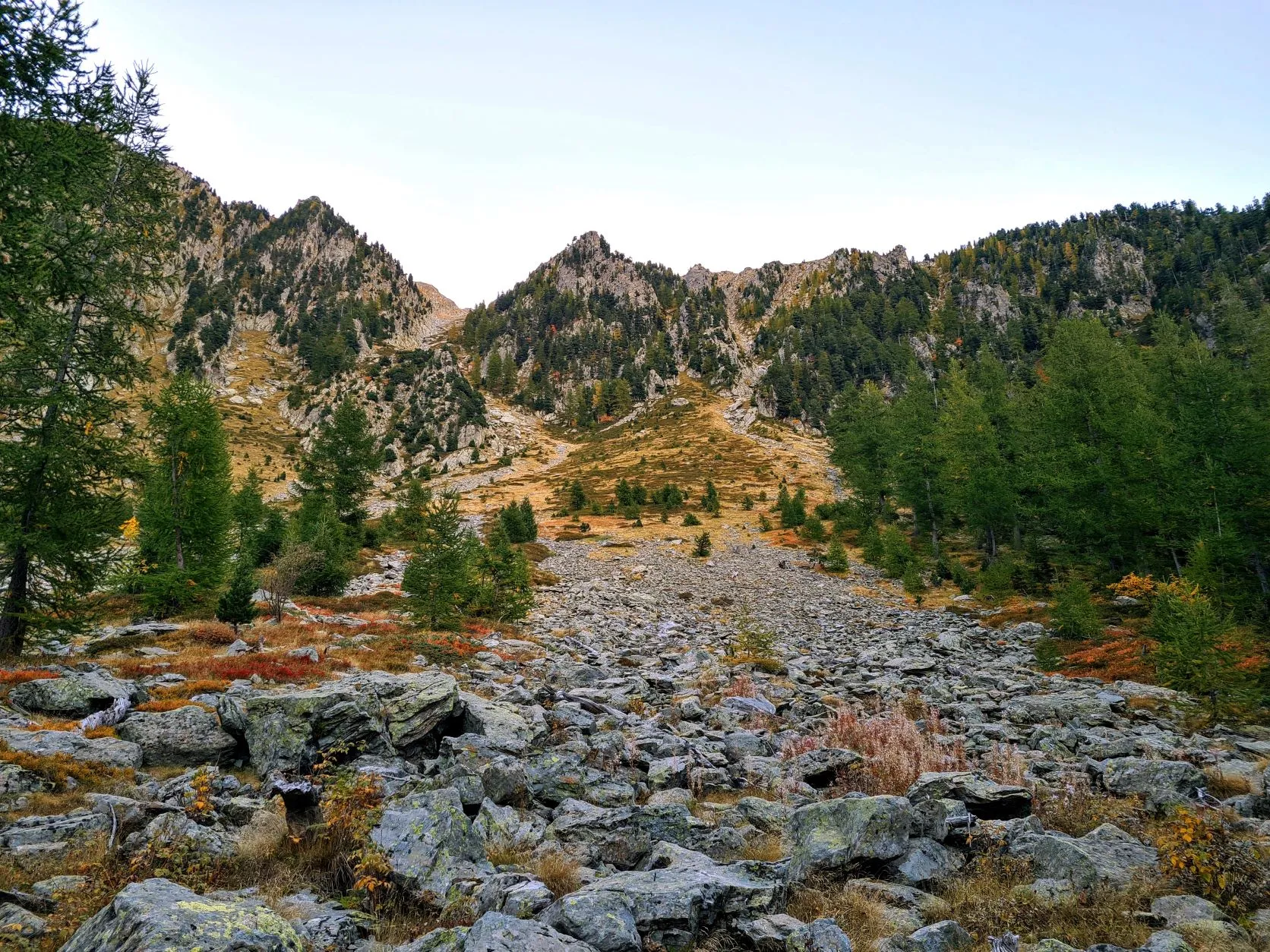
Today we once again follow the GR52. At the beginning of this stage, due to storm damage, we have to follow the right bank of the river. The trail immediately begins with a climb towards Refuge de la Cougourde at 2,100 meters. From here the route hikes over slopes and rocky plains Pas des Ladres at 2,448 meters. Then the route descends to La Madone de Fenestre at 1865 meters. A climb follows to Pas du Mont Colomb, after which a stretch of descending takes the route to Lac de la Fous. From here it's a short climb to refuge de Nice and the bivouac site a little further.
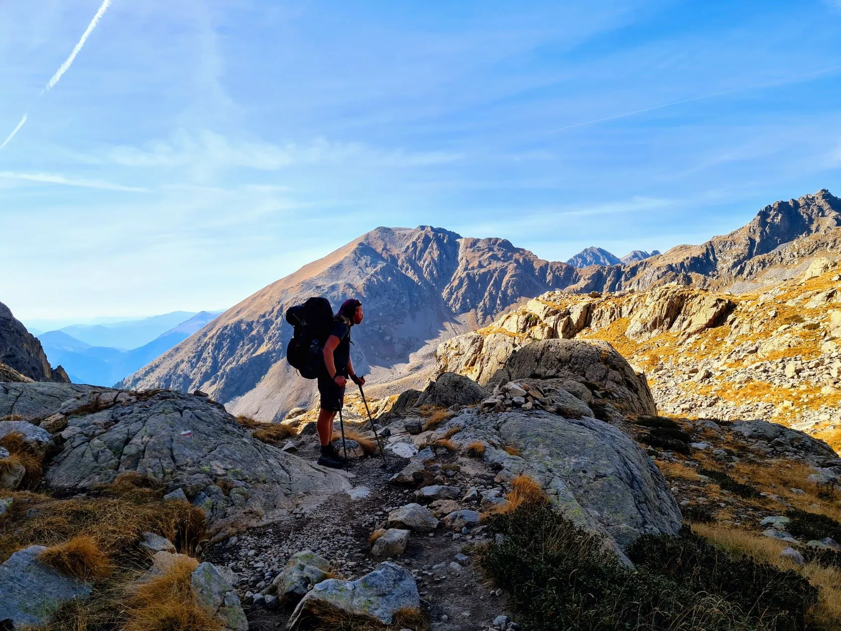
Today we have a tough day ahead of us. The stage we've prepared is just over 20 kilometers, with 1,755 meters of ascending and 1,185 meters of descending. These are real record altimeters, so there's a chance we won't make it today, but we'll see how far we get. We set the alarm extra early so we can leave at first light. From our bivouac spot we walk back to the river which we cross, to follow it further up the other side. It's still wonderful to be out on the trails so early, the peace in early mornings are indescribable.
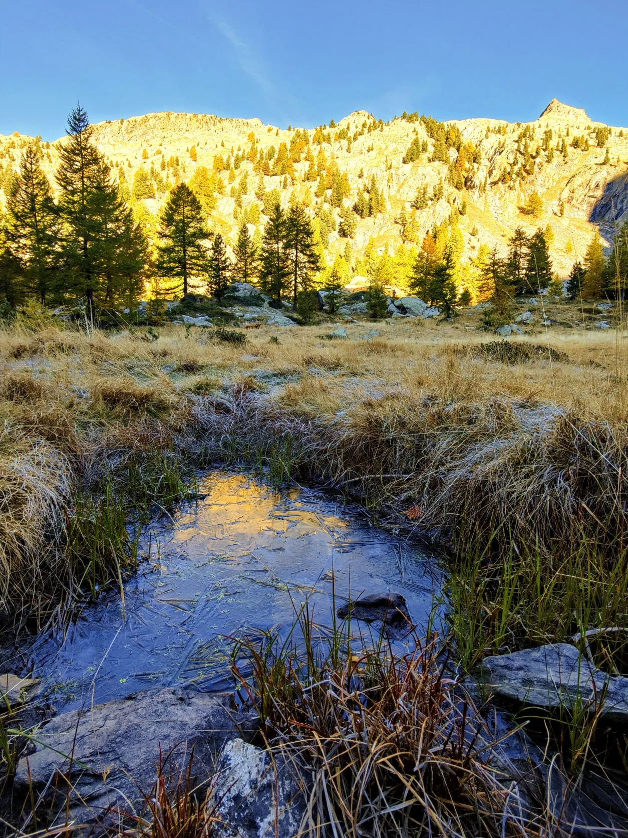
We walk through forests at first and the higher we get, the more they give way to grassland. The more grassland we see, the more it is also used by herds of animals. No sheep this time fortunately, but we are back in the land of cows grazing quietly in the morning sun along the path. Due to the climbing, the jackets and vests have quickly come off again. Even though it's still quite chilly, it's still best to walk in a T-shirt and shorts. The route on our phone sends us right across the river, but the signage has other plans: straight on to the Refuge de Cougourde. It's a few extra kilometers, but we trust it's going to be beautiful so we can't resist following this other route. We walk up through meadows and at the top we enter a beautiful valley where the refuge is located and dozens of cows are standing. It is a swampy area with small pools here and there and to our surprise we see a thin layer of ice. And we are walking here in our summer clothes.
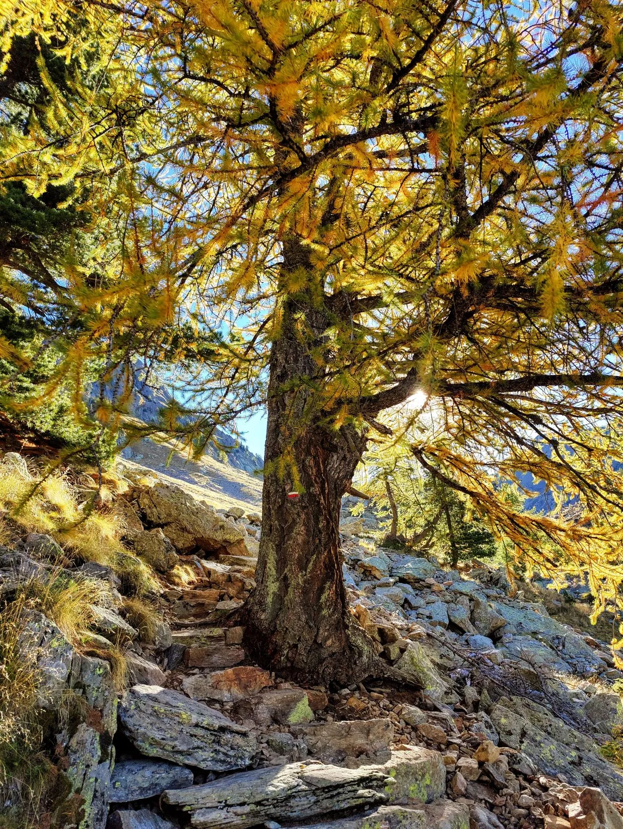
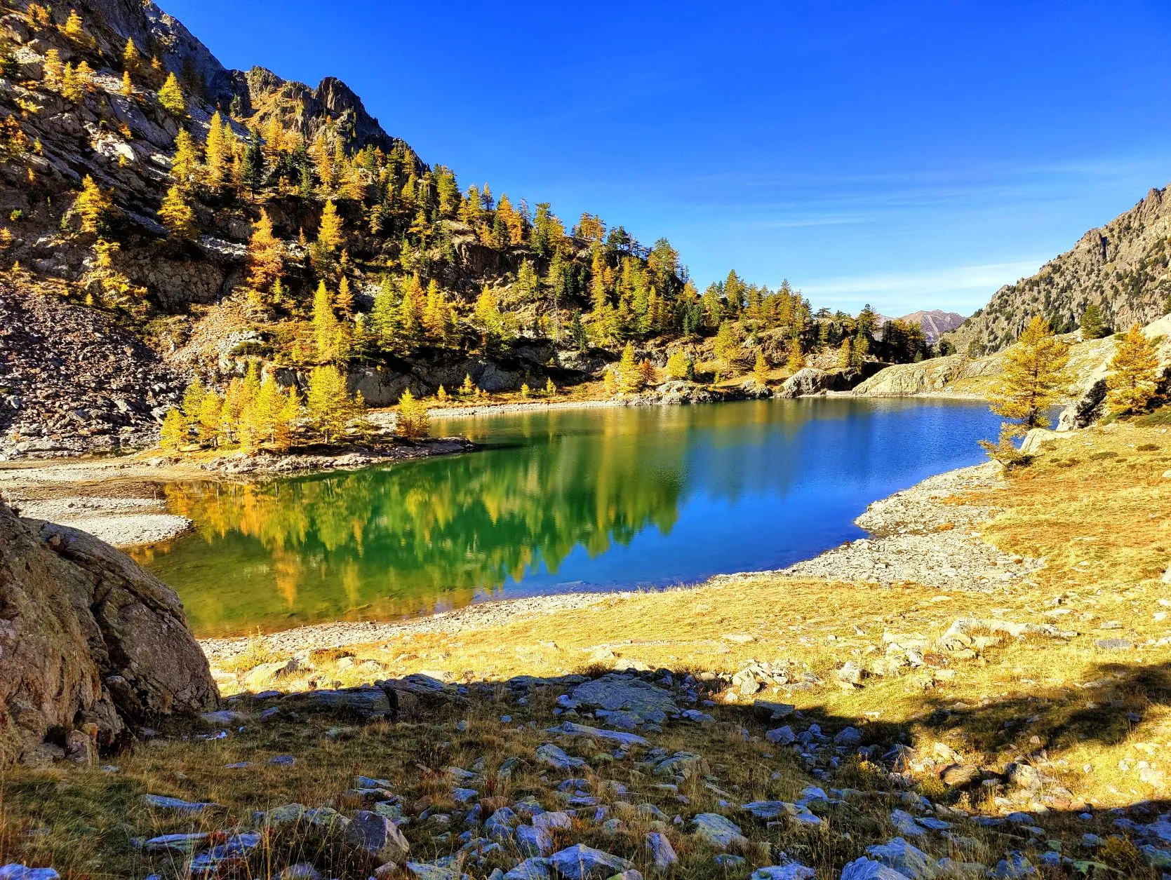
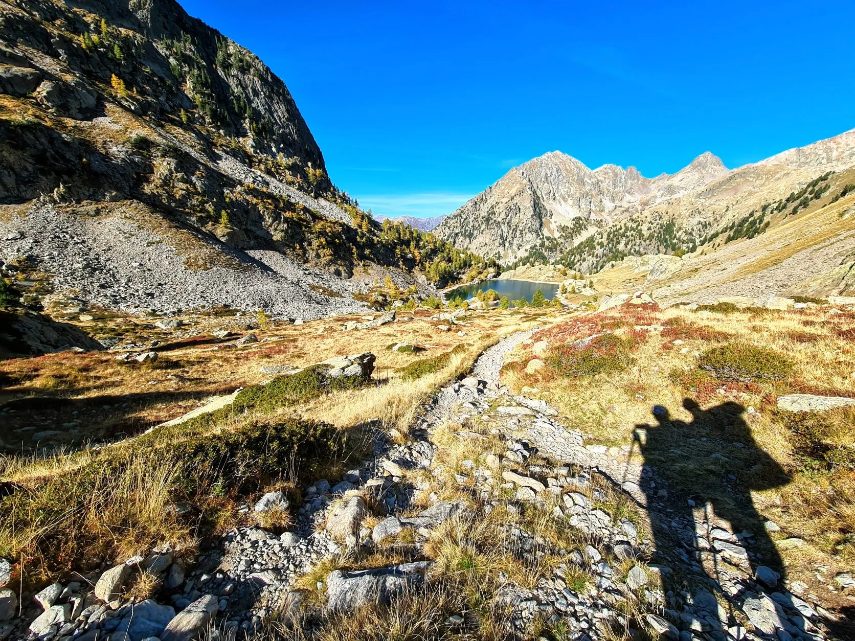
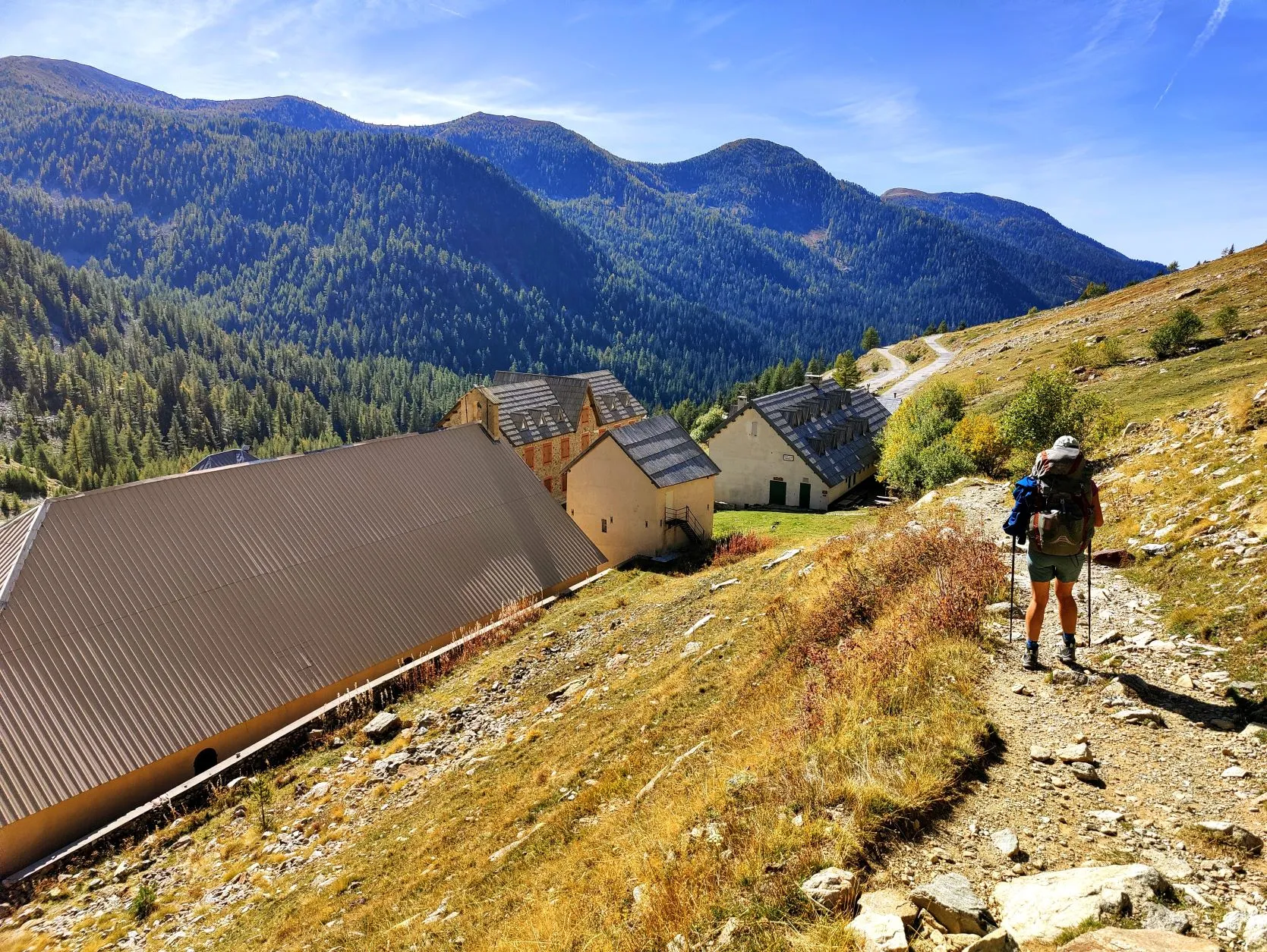
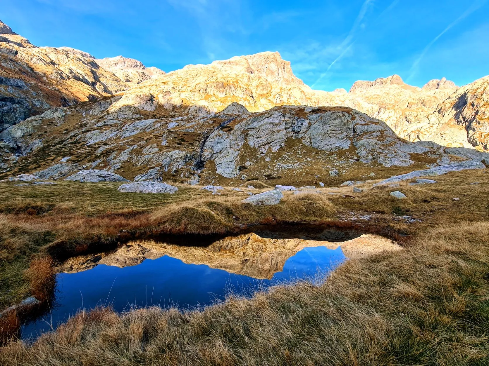
For a stretch, the route stays fairly level and we follow the mountainside until the place where the two routes meet again. We pass Lac de Trécolpas which is at 2150 meters altitude. Here and there are larches reflecting in the sleek water. What a picture! We continue to Pas de Ladres which is about 300 meters higher, then the trail descends again. A little over halfway down, we see a flat area where we can set up our chairs to take a break, with another magnificent view of the valley and the route we are about to walk. After the break, we descend to La Madone de Fenestre at 1900 meters. Here there are a number of buildings, including a small church and a refuge that are all closed. The church was there as early as 878 and the refuge was first used in 1388. Every year between Aug. 15 and Sept. 8, a Lebanese cedar statue of Madonna from the 14th century stands here and is honored each day by locals. On the last day, she descends in procession to Saint-Marin-de-Vésubie to spend the winter. The terrain has now been taken over
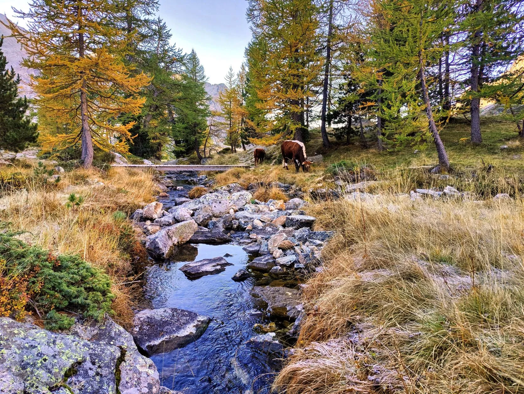
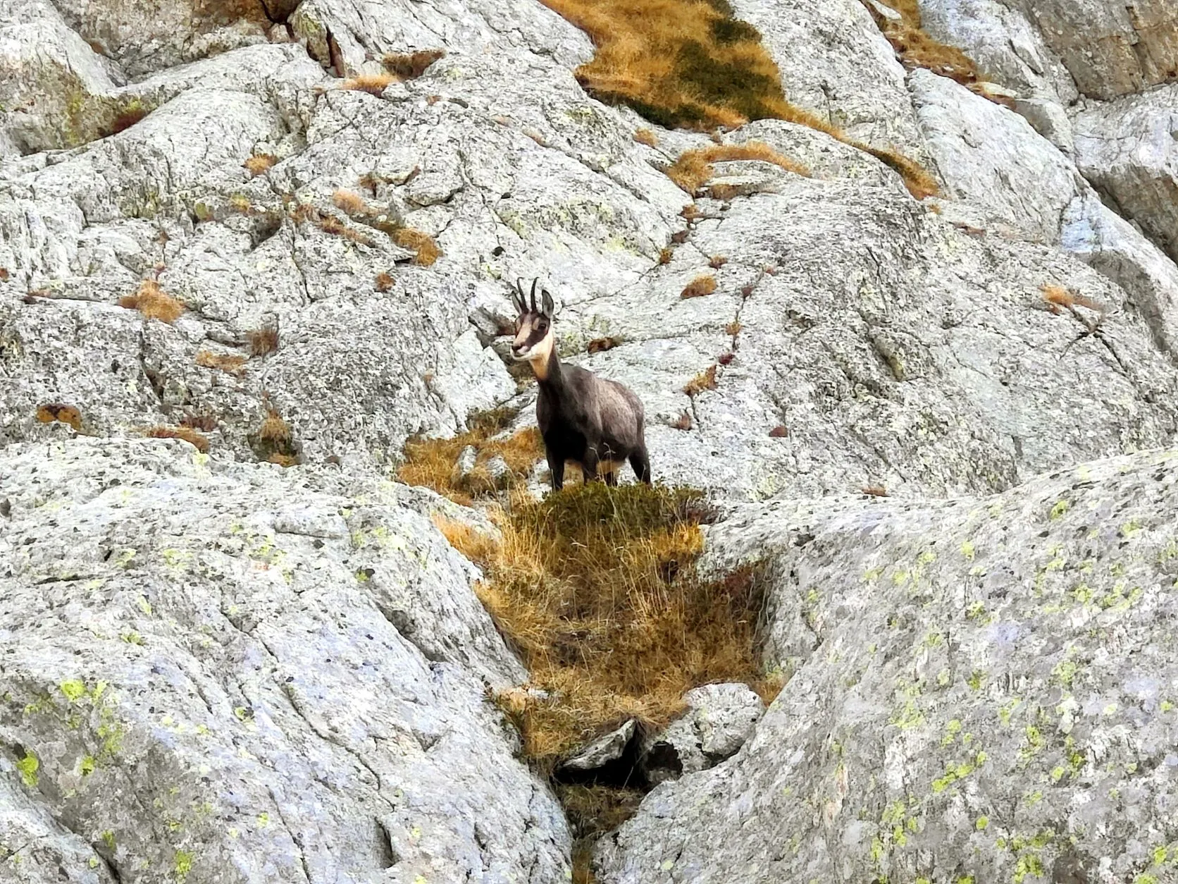
by cattle, which roam here and there, lazing about. From here begins for us the climb to Pas du Mont Colomb at 2548 meters altitude. It is a long climb of about 3.5 kilometers of which especially the last part is very steep. In this stretch we see a group of chamois with the
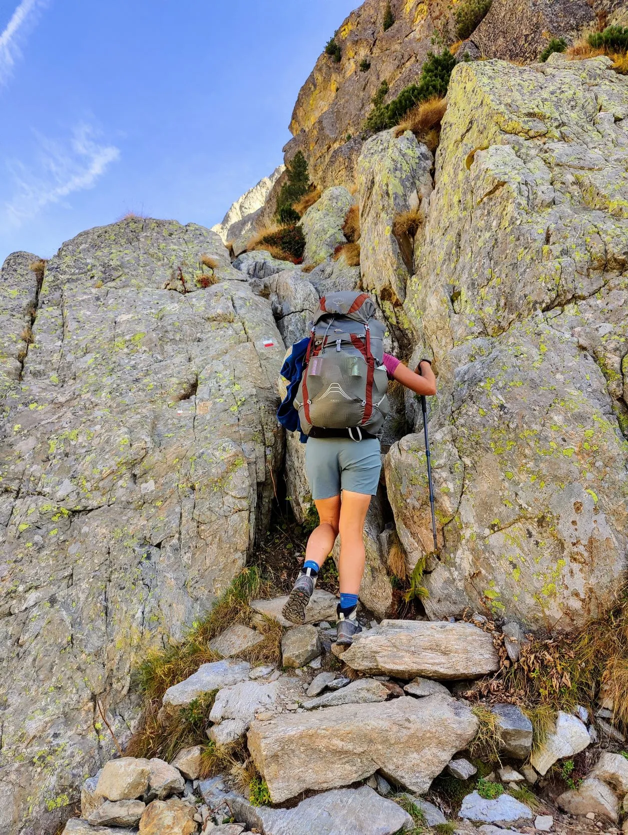
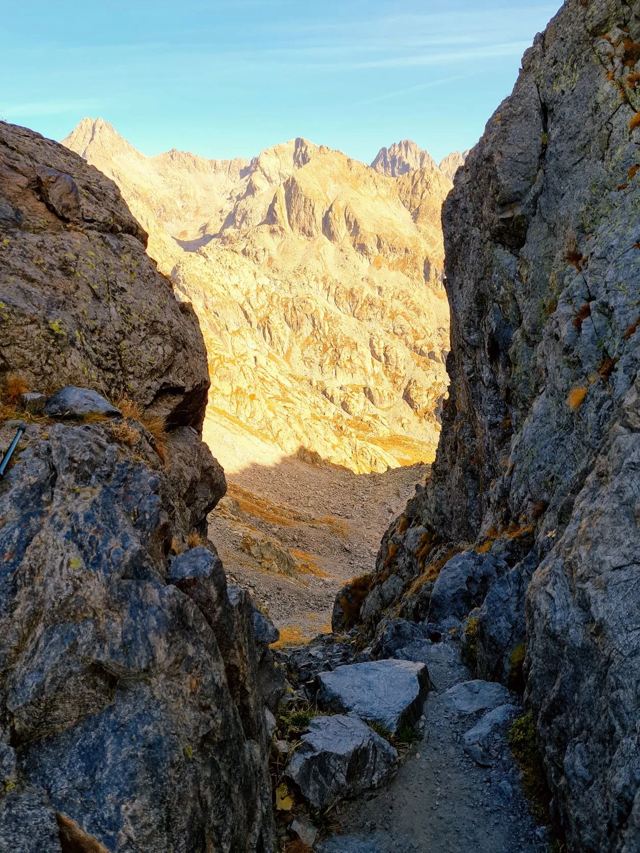
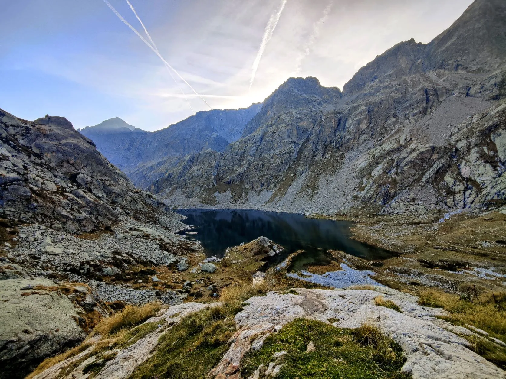
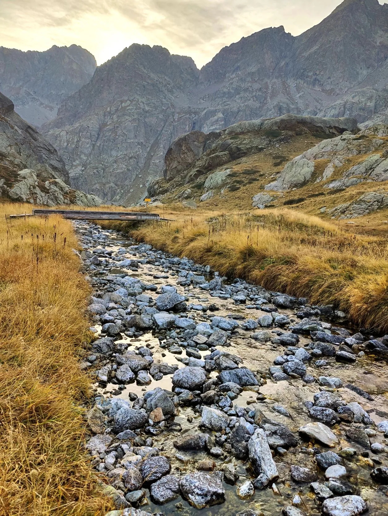
beautiful white/black markings in their faces. They are not at all afraid when we walk by and remain quietly lying and grazing in our vicinity. The route zigzags along a gravel path through a barren landscape of stones and rocks and on the other side of the pass the first section goes down almost vertically. Ouch, that will be scrambling. We rest on top for a moment with an apple and then carefully climb down backwards with hands and feet. It's cold on this shady side of the slope so we put on some jackets and vests. The rest of the trail goes down over large, loose boulders and grit; we carefully need to watch every step. At the top, it was already 3:30 p.m. and because it is so difficult to walk here, the time goes as fast as the distance. When we reach the valley of Lac de la Fous 1.5 kilometers later, it is also already 1.5 hours later. We walk along the large reservoir and all around us the chamois walk quietly. At the end of the lake is Refuge de Nice, which is closed at this time of year. A little further on flows a small river with nice clear water where we can fill our bottles and a little further on we find a beautiful bivouac spot behind a small hill. By now it is almost 6:30, so it is starting to get dark. In fitness and strength we have some left, but the hours of light in a day at this time of year, are just too short to walk that many kilometers in this rugged terrain. Because of the detour at the beginning of the trail and the miles we don't make it now, that leaves about 6 kilometers of the stage and two tough climbs that we can't walk today. Tonight let's see how we can spread those out over the next few days. But this spot at almost 2,300 meters in this insanely beautiful valley, where we are alone with nature, is perfect for the night.
2 reacties