Where in Spain it's quite normal to have breakfast only after 8 a.m., this morning the plan is to leave the refuge at 8 o'clock with breakfast already eaten, although the owner mentioned that it could be pushed to 5 or 10 minutes later. So, we need to keep up the pace this morning, which is a bit of a shame because we had a great evening yesterday with the only other guest in the refuge. A city Spaniard from Barcelona, a teacher who received a countryside trip as a gift. Originally meant to be on foot, but he decided to take his car instead. A friendly man with whom we ended up talking for hours about Spain, Catalonia, the Netherlands, Europe, customs, traditions, and language. Refuges like this are indeed ideal places for such encounters. This morning, we would have liked to have more time to continue this enjoyable conversation, but unfortunately, after a good but quick breakfast, it's time to settle the bill and hit the road. Outside, we take a moment to start the route and find our way through the narrow alleys of the village. Soon, we're assisted onto the right path by a man with his dog. It turns out to be an Australian who ended up in this village due to love and now knows the area well. He walks with us for a while, sharing stories about life in this region in the past.
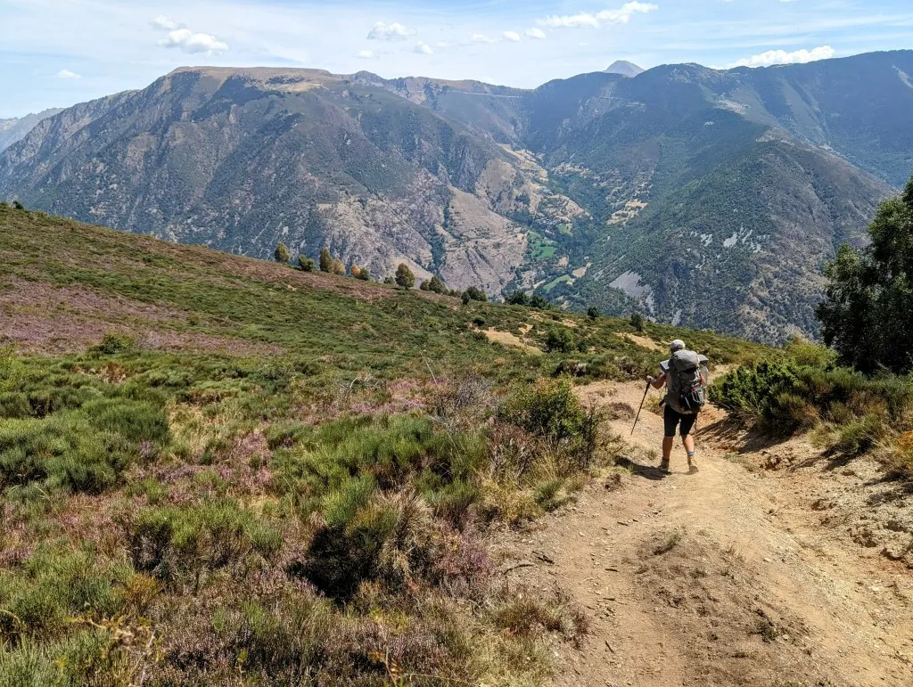
Nowadays, the landscape mainly consists of forests, grass, and shrubs, but in the past, every piece of land was used to grow grain and barley, raise cows, chickens, sheep, and pigs, or to cultivate trees for construction or firewood. From the first light of dawn until sunset, the inhabitants here were busy. Long days in the summer, short ones in the winter. These were tough times that persisted in these villages until not so long ago. By now, we've already left the village behind and are walking along a path lined with birch, oak, and yellow grass. We have a view over the valley we are in and over the hills to the south. Our 'guide' points out a bunker built on a peak a few ridges away. It's a remnant of the last civil war in the late 1930s when Francisco Franco became the leader of Spain. This valley was used to drive the Republicans over the Pyrenees into France. From that bunker, they made sure they didn't come back. Today, we're following the same route, through the valley of the Rio de Peracalç and then up to Col de Jou. When we reach the bottom of the valley, we cross the river and come out onto a wide path. The Australian turns right and walks back to the village. We follow the GR11 to the left, further into the valley. We're advised to keep following the wide path a little further ahead and not to follow the white/red markings that follow a narrow and impassable path on the other side of the river, but eventually rejoins the wide path further ahead.
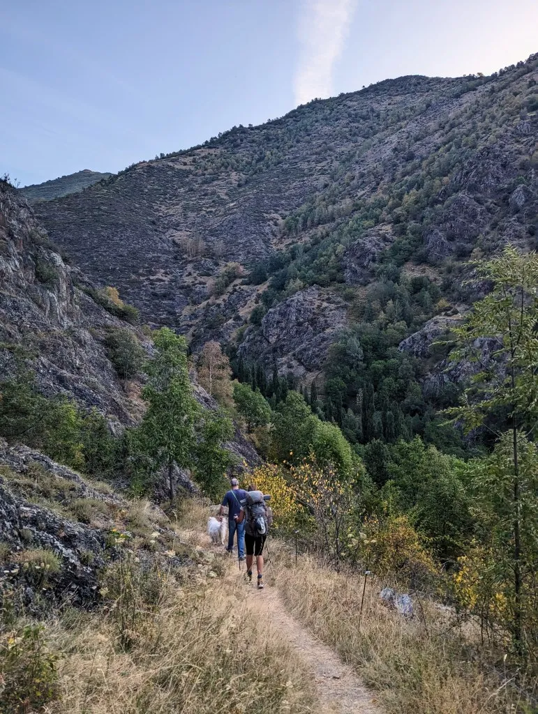
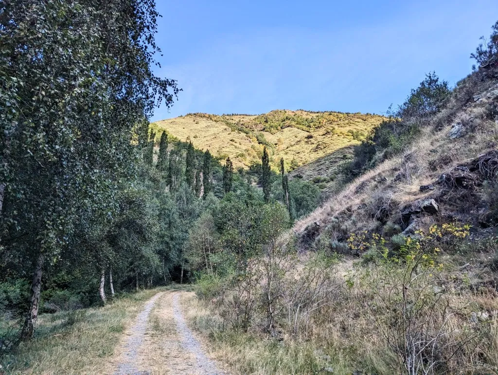
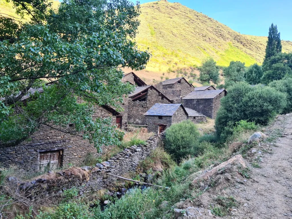
Useful to know. This path through the valley continues easily, but eventually, in this short hike of just under 14 kilometers, we'll still make nearly 1,600 meters of elevation gain, so we'll get our exercise today. We follow the river for 3.5 kilometers. Uphill, but it's never really steep. Just before we want to turn right and climb the slope, there's an abandoned village on our left at the other side of the river; Les Bordes de Nidrós. At least, it looks like a village. A collection of houses built from beautiful natural stone, clearly no longer in use, but the buildings don't even look that bad. They all have a large door on the ground floor and a large opening under the sloping slate roof. They were once winter shelters for cows.
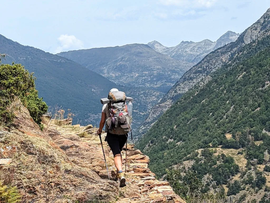
Animals were kept at the bottom, and on top, the hay was stored, which served both as feed for the animals and as insulation against the cold mountain winters. This place has something magical about it. From here, we begin the climb to Col de Jou, at 1,860 meters altitude, considerably lower than yesterday's pass, with only about 350 meters to ascend. We climb over the deforested slope, mainly covered with heather bushes. Occasionally, we pass an old barn, and the climbing goes well, and soon we reach the col. The weather is good, and the brilliantly blue sky offers us a splendid view. It's another beautiful spot for a break, although it's a bit tricky to find a piece of ground where the cows haven't left anything behind for us. But once we find it, it's again a magnificent resting spot with views of the mountains. From here, we can see the spot where we took a break yesterday on the mountain on the other side of the valley. We take it easy before continuing and start our descent. Tonight we'll be staying in a hotel in Tavascan, and we don't want to arrive too early.
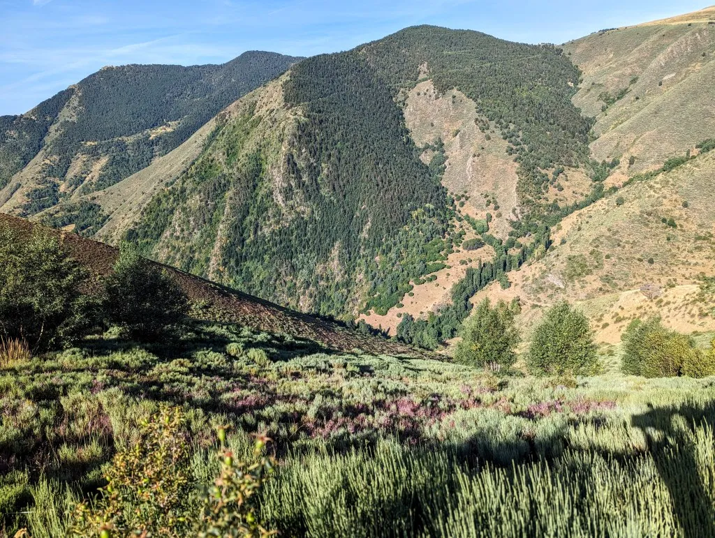
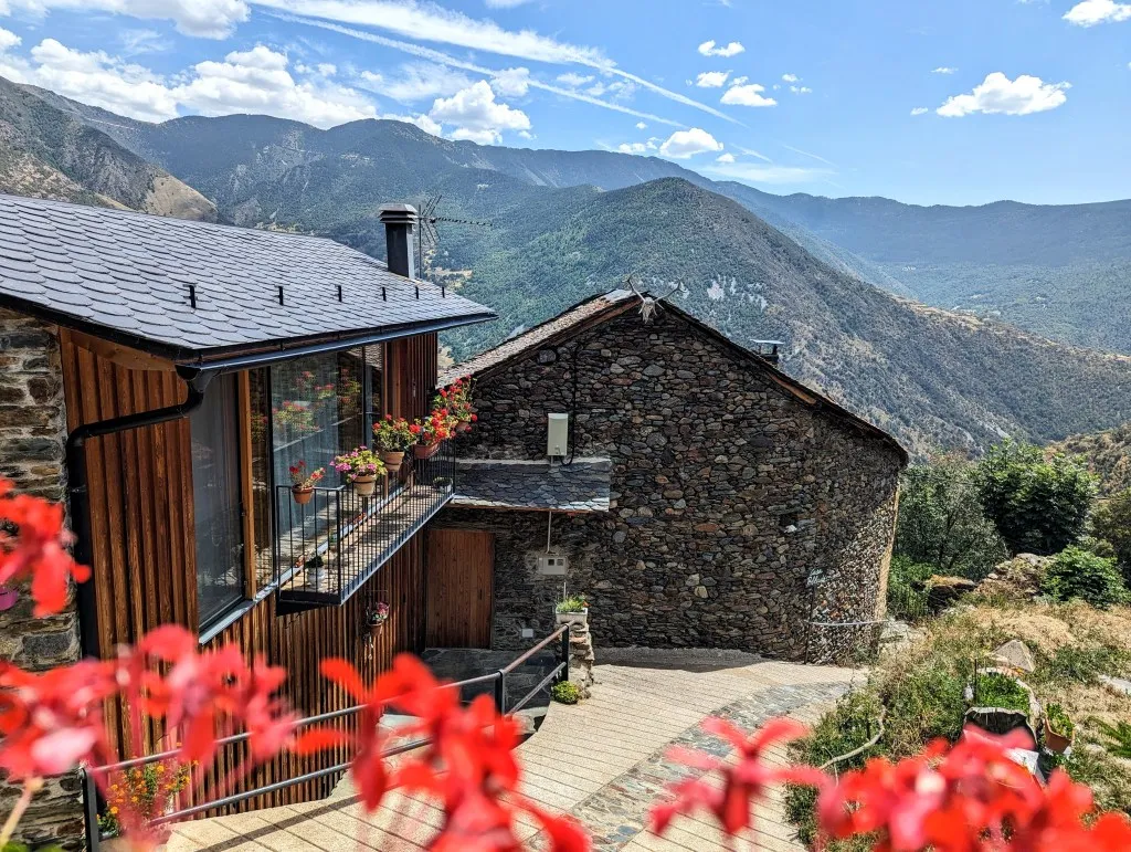
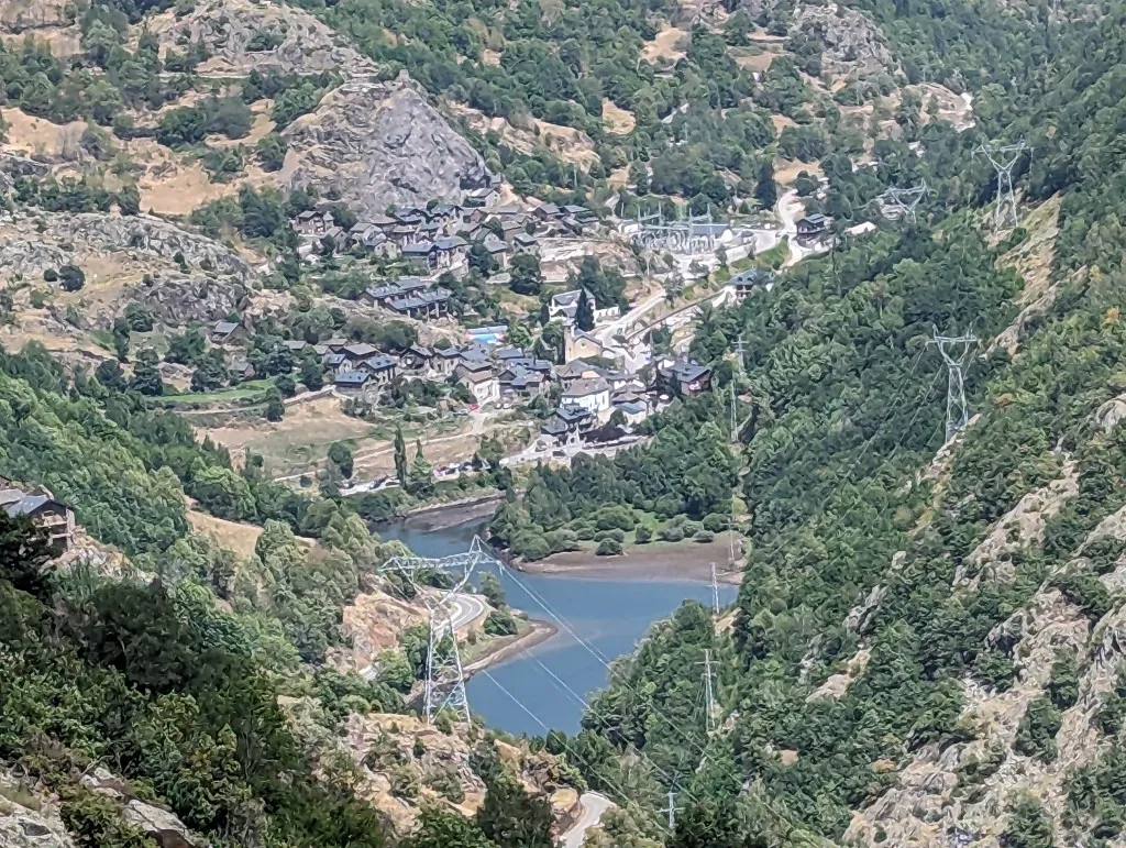
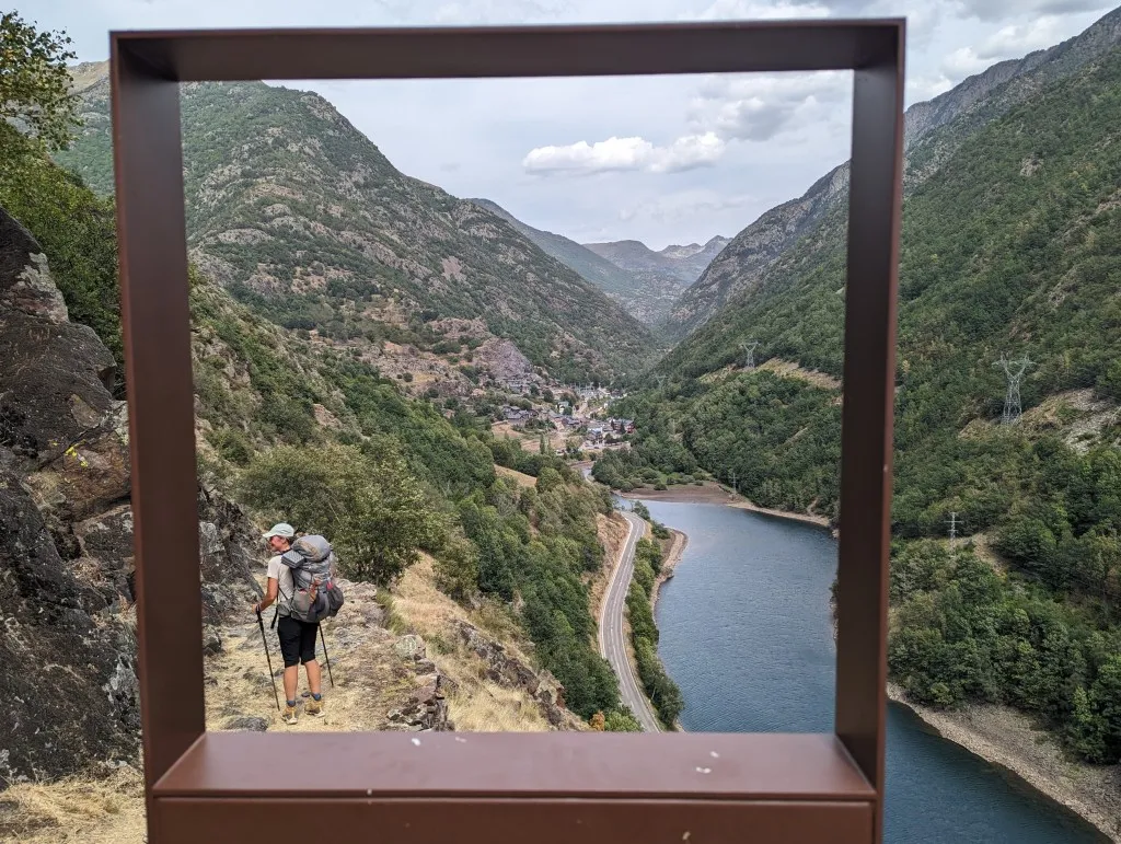
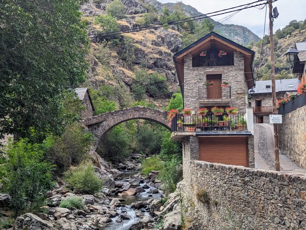
During the descent, we get a view of another valley, the valley of Riu Noguera, where there's a reservoir, a main road, and a few villages. The slopes look dry with yellow grass, blooming heather, bushes, and occasional beech forests. We descend quite easily along a trail that soon becomes a wide path, and before we know it, we're 350 meters lower. We pass by the village of Lleret and continue along the mountainside towards the village of Aineto, a beautiful authentic village with luckily a water source. Since it's clear today, the temperature has risen significantly, and we've brought a bit too little water. Fortunately, we can drink some cold water here cautiously. Not too much because it's untreated, and we don't have any purification tablets left. We walk past the gorgeous houses, descend a steep section at the end of the village to get further into the valley, and then walk the last bit to Tavascan. There seems to be more in the village than Google indicates: the local butcher shop also serves as a small grocery store, and the tourist office sells some camping supplies, so we can go "shopping" later. But first, check-in and head to the room to drink some delicious chlorinated (but safe) tap water. Today's journey was beautiful and not too difficult, but it was hot and thirsty. Outside the hotel, there were plenty of terraces to enjoy a cup of coffee and eat a refreshing helado. It feels like a vacation! Lovely to have such a luxurious day, but we've seen so much again.