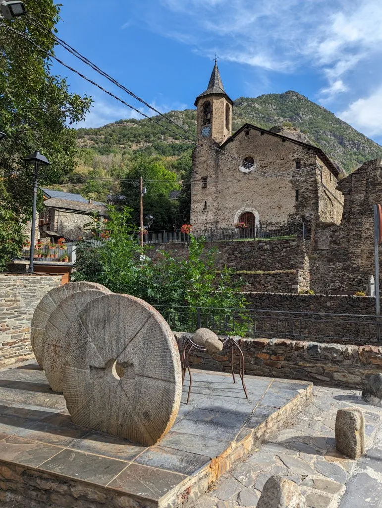
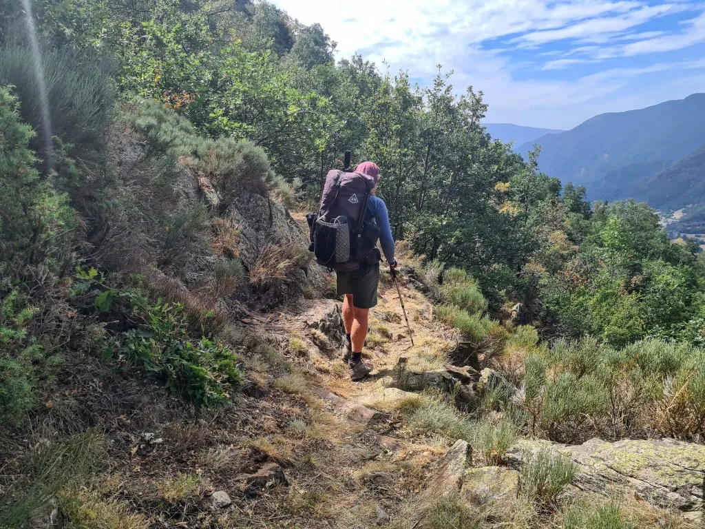
After a peaceful afternoon and evening, we've maintained this rhythm this morning. After the extensive hotel breakfast, we gather our belongings to continue walking towards another pass, closer to Andorra. The tourist village of Tavascan, on the edge of the Parc Natural de l’Alt Pirineu, is still quiet as we start the stage after ten o'clock. The sun is already shining brightly, promising a warm day. Fortunately, we'll cover a significant portion of the climb in the morning. We walk past the church and the signs of the national park, with a beautiful explanation of the diet of the brown bears that inhabit this area. At least we don't have to worry; they are almost vegetarians. We cross the Riu de Lladorre river and begin the ascent. We quickly start climbing steeply. The first climb takes us from 1,100 meters in the village to almost 1,550 meters in just 2 kilometers. After this, it remains relatively flat for a long stretch. The slope is dry with lots of yellow grass and stones and is wooded, with large bushes, beech, oak, and birch trees. They're already losing their colored leaves. Autumn arrives early in the mountains, especially after such a dry summer. It's 'only' two kilometers, but even though we feel like we're making good progress, it takes us over an hour to reach the top of the first climb. From here, our route continues at the same elevation, following the slope, but at the junction, there are signs that momentarily make us hesitate.
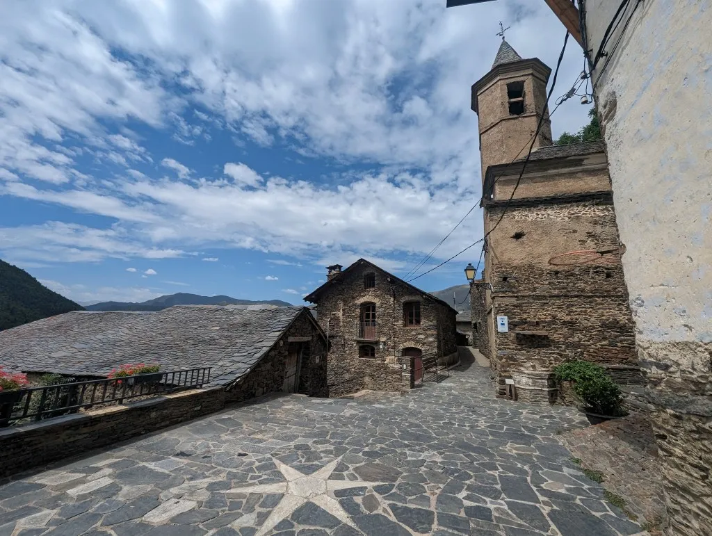
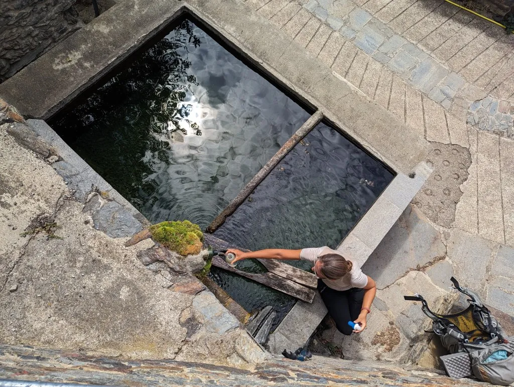
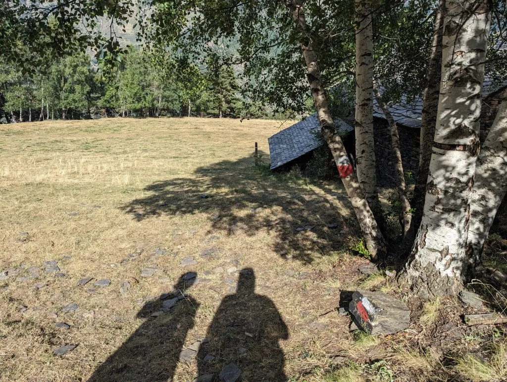
Our route goes to the right, but the path to the left also leads towards Andorra. Much further along, it rejoins the route of the next stage, but it passes through a magnificent area and could save us many kilometers. We take some time to consider it thoroughly because the impact on the route would be significant. We call Andorra to check if the cable car is open, so that if we get lost, we can descend the mountain and return later. Unfortunately, the cable car doesn't operate in the summer, and while we could take the other route, we're not quite equipped to camp wild for one or two nights. So, we decide to turn right, which isn't a disappointment at all because this path looks delightful and very scenic. We walk along the mountain's slope with a view of the villages where we walked yesterday. The path is carved into the mountain, likely an old trail used by shepherds to lead their livestock from summer to winter pastures. Gently undulating, we pass by old barns, walls, and streams of water flowing down the mountain, shaping the contours of the side valley. This leads to the mountain village of Boldis Sobirá, another beautiful authentic village built from natural stone with slate roofs and adorned with flowers, luckily with a drinking water source. We gladly use it to fill up our water bottles for coffee during the break. But we continue walking a bit further before resting; we want to tackle a portion of the next ascent, which begins after the village. Once we leave the asphalt of the village behind, we continue along a wide path, ascending towards the Col de Tudela at 2,243 meters altitude.
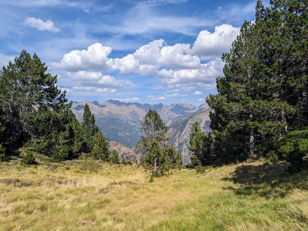
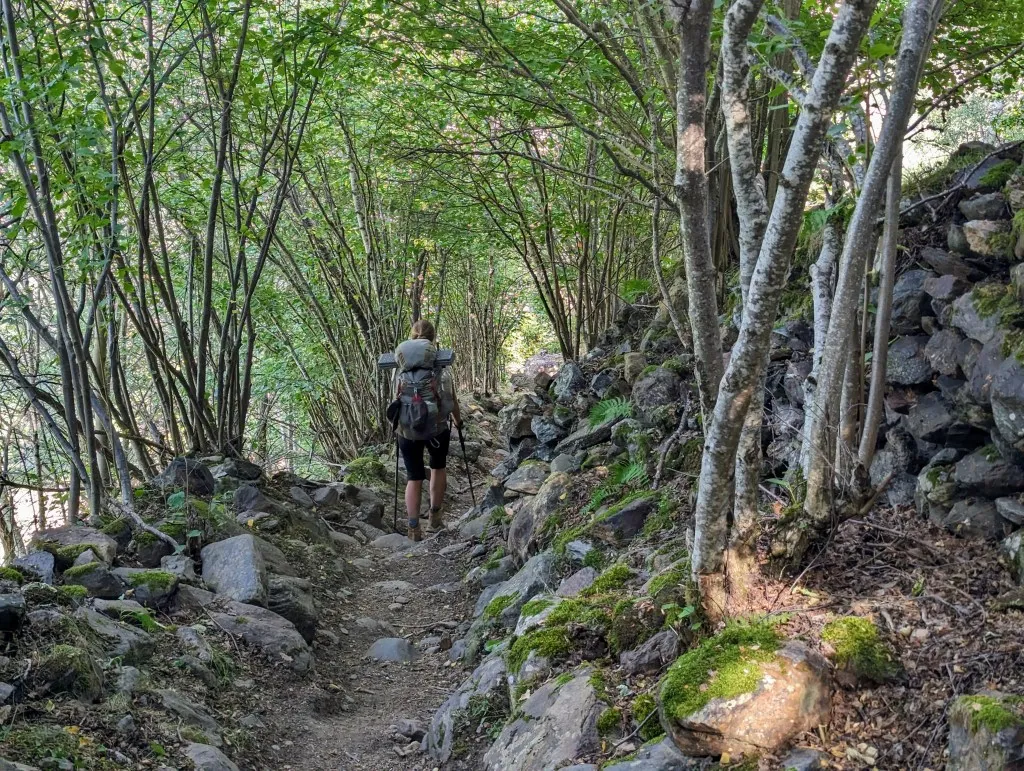
We're not yet at 1,500 meters, so we still have a bit to go. The wide path isn't very steep, but that changes when we take a smaller path into the forest. This path cuts the corners of the wider trail and becomes much steeper. With the temperature rising considerably by now, it's quite a slog. Fortunately, it's a dense forest and we walk in the shade of the trees. Just before the final ascent, we're already well past halfway through the journey and we reach a more open section. Under a few large pine trees, there's shade and a splendid view: an ideal spot for a break. We've already surpassed the 2,000-meter mark and still have about 200 meters of climbing after the break. Time to give the legs a rest and recharge with some energy before continuing on.
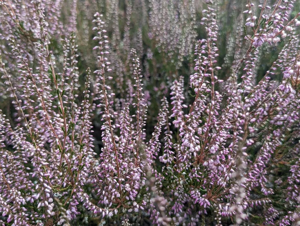
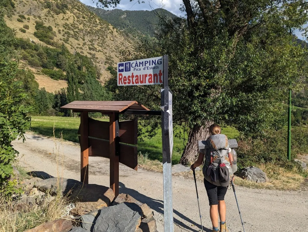
After the break, we miss the turnoff from the wide path and continue following the main trail, with a splendid view to the south of the mountains gradually descending. The path winds back, and shortly after, we're able to take the smaller path for the final climb to the col. We walk among the broom shrubs and the purple flowering heather, occasionally passing through wooded areas with sturdy pine trees. Trees here stand well above 2,200 meters, even on the col, which we reach after 2 kilometers. It's a vast, flat, yellow col, clearly often used by sheep. From here, the descent begins, a 1,000-meter drop over 5 kilometers: 20%. Past experiences make us a bit apprehensive about such steep descents. On the other side of the open col, we re-enter the forest and immediately start descending. The path zigzags down the slope and is quite manageable. Lower down, the forest opens up a bit. We pass by a beautiful summer residence of a shepherd before re-entering the woods. Further down, we cross the wide forest path more frequently. If the descent proves challenging, we could continue following this path downhill, but both of us are actually doing quite well. So, we stick to the narrow path, descending rapidly and gradually transitioning into cultivated landscapes. The forest path gives way to a path between meadows delineated by the familiar stacked stone walls. We soon spot the first houses of La Força d’Àreu on the final stretch of slope before the Ferrera Valley, the valley of the La Noguera de Vallferrera river. Although the village is just a collection of houses and we quickly pass through it, it's an ancient village that was already on the map in medieval times and features a beautiful castle-like church. We're at the bottom, and although the slope was steep and sometimes seemed endless, it went quite well. From the village, it's just a short walk to the campsite. As we head towards the campsite, we see that it's quite crowded, but we manage to find a spot nicely shaded by trees. Here, we'll take some time to reconsider the final stage to Andorra. From here, we'll enter the high mountains for the last time, so it requires some preparation. But this seems like a pleasant spot, and the coming days are expected to be quite hot, so we'll take our time.