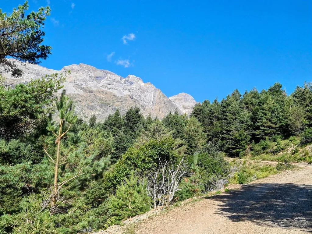
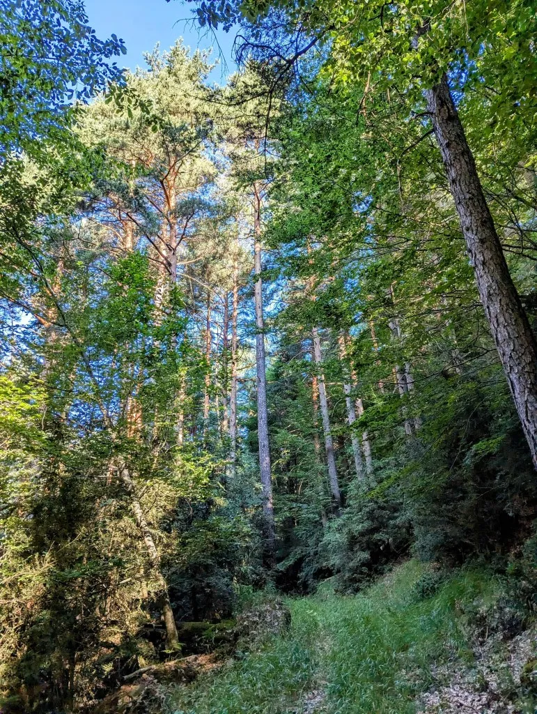
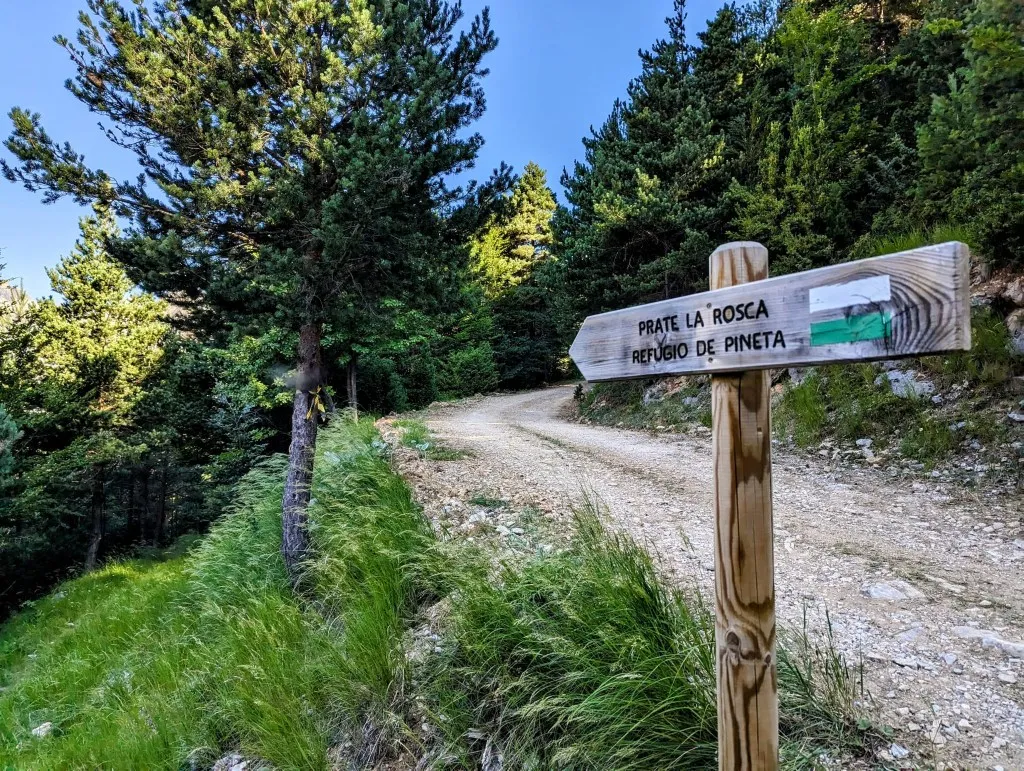
Stage 99. Last night, between the pizza, showering, and sleeping, we took a good look at the route. We’re now 3.5 kilometers away from the original route. After that, we would still have to walk approximately the same distance along the road before heading back into the mountains. Fortunately, after a bit of searching, we found a trail not far from the campsite that goes up the slope much earlier. It’s going to be tough, but anything is better than walking 7 kilometers back on asphalt. A bit later than usual, around half past eight, we leave the campsite and head onto the road. We walk amidst beautiful large, green pine trees, forests that you only find here, so low in the valley. We’re amazed at how relatively fit we feel after yesterday’s stage. We can start the first 1 ¼ kilometers slowly; these are fairly flat along the road. It takes a bit of searching, but then we find the small trail that we saw on the map, turning right up the slope. It runs through the forest uphill. A narrow strip completely overgrown with grass. It’s immediately steep, often very steep, but it’s actually going quite well. The steepest section isn’t very long, and after this, we reach a wider strip, a kind of firebreak. We zigzag upwards until after about 3.5 kilometers, we reach a wider path, an unpaved road that Jeeps and tractors can also drive on. This leads over a gradually barren slope, strewn with rocks towards the mountain pastures higher up. This is easy hiking. We have a view of the slope on the other side where we descended yesterday and see that we’re already approaching the height of the resting spot where we were when we still had 2/3 of the descent left.
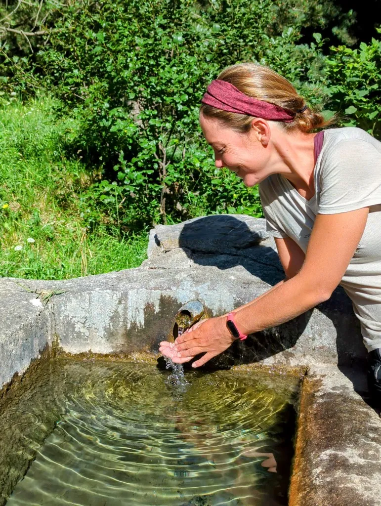
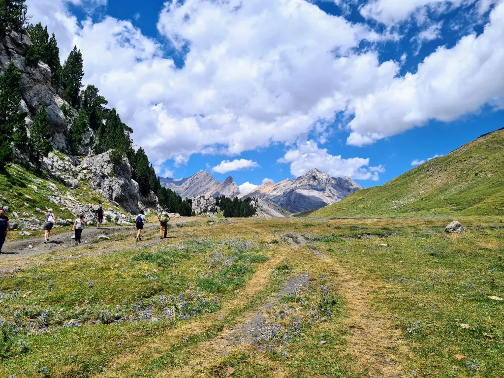
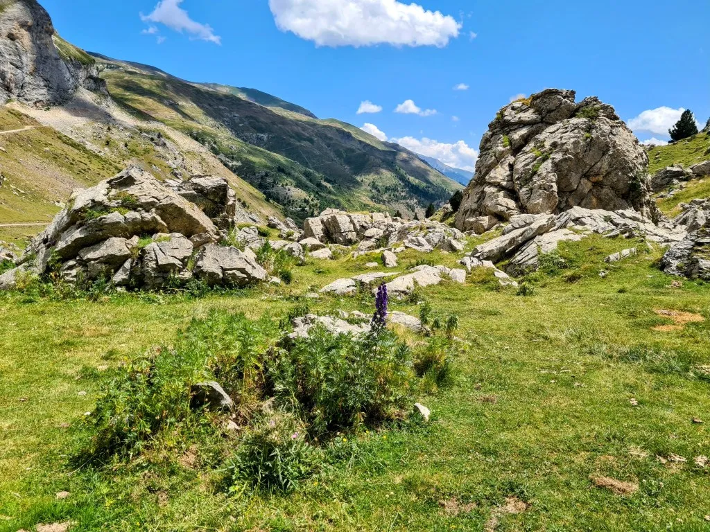
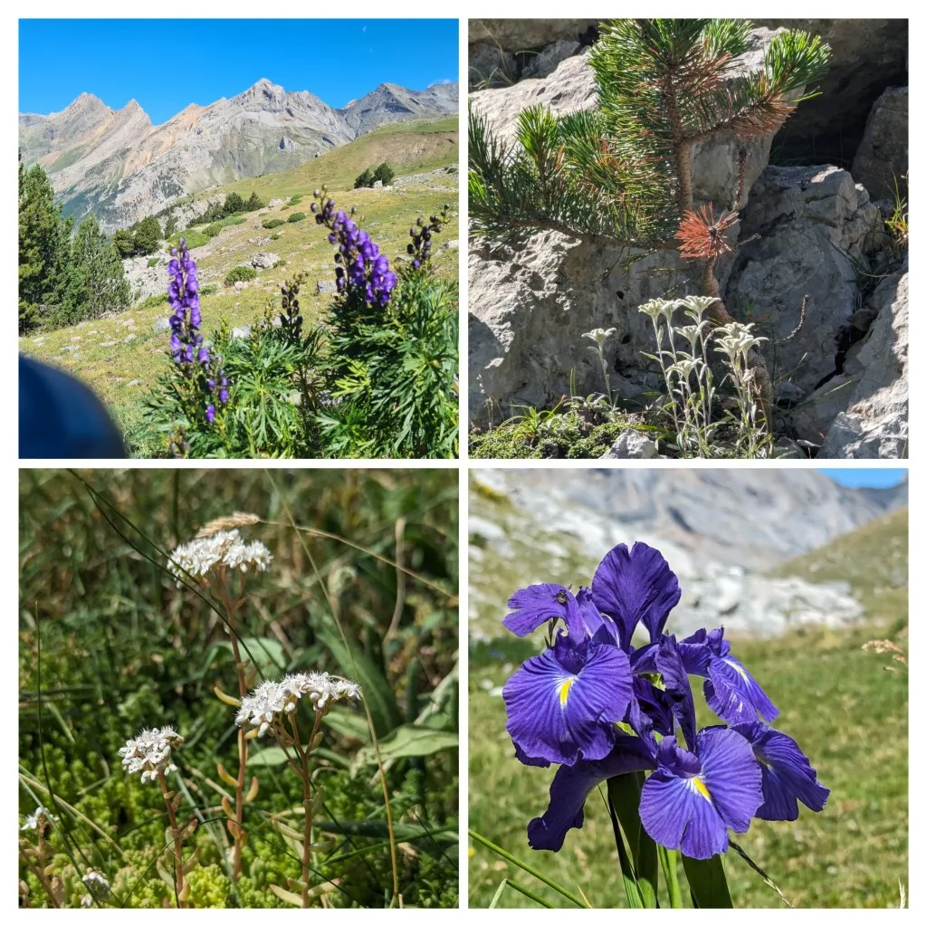
The ascent is going very smoothly. We pass by a water trough fed by a spring, delightful for cooling off our hands and splashing water on our faces. A welcome refreshment, as it’s already quite warm in the sun. Higher up, above 2,000 meters again, after 8 kilometers, we reach the GR11, the original route. We leave the wide path and enter a grassland again. We’re already on the high mountain meadows, and there are many cows around us. We climb a bit further and then reach the wide path that ends at a small pass. There’s a Jeep from an Adventure tour. People have driven up here for the narrow Plana Fonda valley, which we’ll traverse from here. The slope of the mountain to the left of us leading down to the deep valley below is interrupted here by an elongated valley with on one side the slope of the high mountain and on the other side a wall of gray rock, covered with grass and old low pine trees, with a perfectly flat worn strip in between, which could only have been made by a glacier that used to be here. The Pyrenees don’t have many glaciers left, but at the end of the deep valley, we see on the bare peaks of Monte Perdido and Pico Soum de Ramond, mountains over 3,000 meters, some remnants of snow and a small glacier. In the valley where we are now, it’s evident that there used to be many more. It’s a special piece of nature with many beautiful plants like edelweiss, purple irises, carnations, and the star of the Pyrenees: long-leaved saxifrage. We’ve done most of the climbing again and are nearing the halfway point of the stage. This is a nice spot for a break. Several groups of organized adventurers pass by after our break, who have driven up with the Jeep. Apparently, it’s a special piece of nature. Nice that it’s accessible to people who can’t come here on foot.
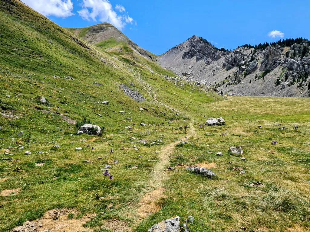
After the break, we walk the length of the beautiful valley and then climb the last bit to the pass. We see and hear mountain marmots more often, who keep looking curiously until they dive into their burrows with a loud shriek.
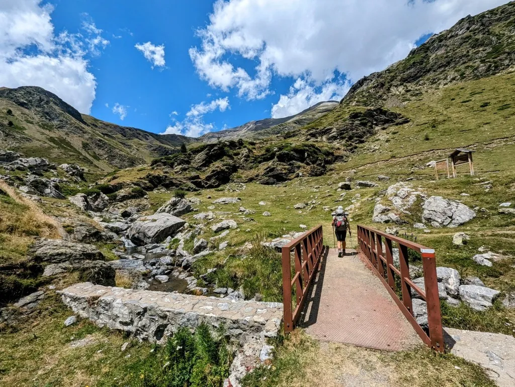
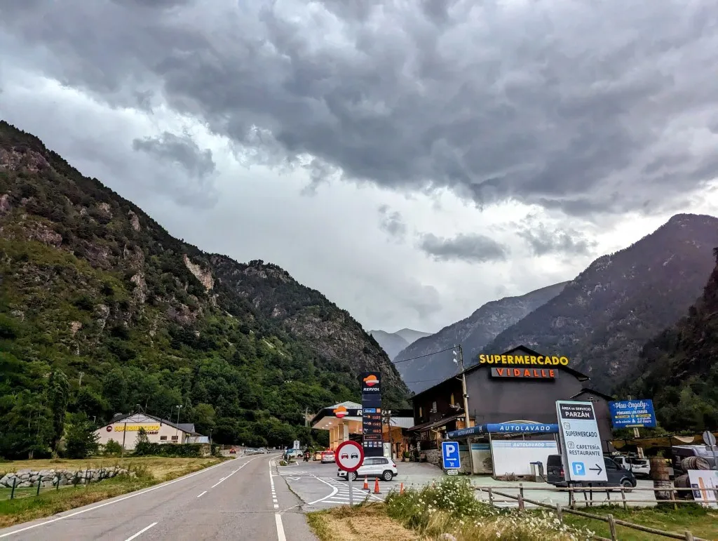
From the pass, another long descent of 2,150 meters begins, ultimately to 1,100 meters. The beginning is steep again, and after yesterday’s descent, we’re curious how it will go. The path is somewhat easier to walk, but there are still many loose stones. But it turns out that after yesterday, everything is a breeze because we easily hobble down the mountain to the less steep sections. We enter a large green high valley. Grass, with large gray rocks everywhere. Rocks the size of meters in diameter are scattered over the slopes, large waterfalls flow against the other slope, further down towards lower areas is an unpaved road that we’ll soon reach. From the road, a wide path like the one we climbed a while ago, we’ll continue until Parzán, down in the valley. The unpaved road is pleasant to walk on, so the kilometers pass quickly. Our tent was still wet when we packed it this morning, so we’re still looking for a place to set it up and let it dry. Tonight and tomorrow night, we’ll stay in a hostel in Parzán. A bit further off the path, we see a flat spot where we can rest and set up the tent, but when we’re about to start, we notice that dark clouds are gathering very quickly. Just to be safe, we stick to a quick break before we continue descending. We pass parking lots where campers spend the night, a shed from which snow tours are organized in winter, and slowly we encounter more buildings. Further down, the grassland becomes more forested, and we walk along meadows bordered by stone walls. We pass by the small village of Chisagüés before the road becomes paved. A bit of winding, and we arrive in Parzán, at 1,100 meters. A small village along a main road to France. The last village before the border, and since groceries, fuel, and alcohol are much cheaper in Spain than in France, there are many supermarkets, gas stations, and restaurants here. And luckily our hostel, because even though the stage went smoothly and easily, 22 kilometers and 2,200 meters of elevation gain is long enough to be glad to give our legs some rest. We’re assigned a beautiful attic room, and about an hour after we arrive, thunder and heavy rain begin. We’re lucky again! Tomorrow, we’ll take a day off, do some shopping for the next stages, and recover from at least two tough stages from Bujaruelo.